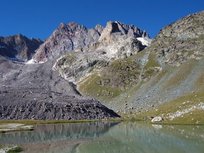
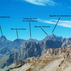
Aiguille de Chambeyron, Mountain summit in Alpes-de-Haute-Provence, France
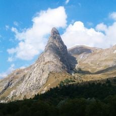
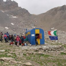
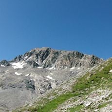
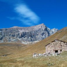
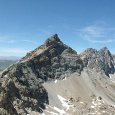
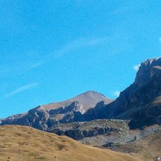
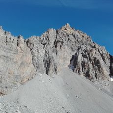
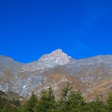
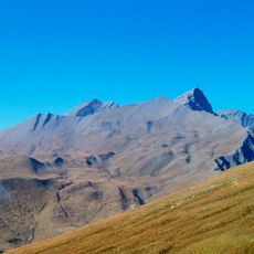
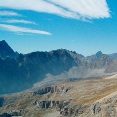
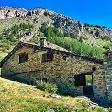
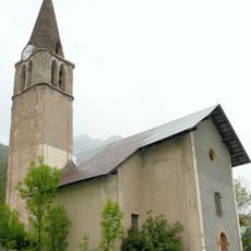
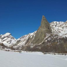
Aiguille de Chambeyron is a mountain peak in the Cottian Alps standing at 3,412 meters and rising prominently above the surrounding ridges. The sharp summit is accessible via established trails that connect to the Chambeyron refuge, making it a recognized destination for mountain travelers.
The first recorded ascent took place in 1879 when mountaineers W.A.B. Coolidge and Christian Almer reached the western summit. This early exploration established the mountain as a recognized climbing destination for the Alpine community.
A metal cross marks the summit, installed by military personnel and serving as a symbolic focal point for climbers who reach this high point. For visitors, standing here connects them to the broader Alpine climbing tradition and the sense of accomplishment that comes with reaching such elevations.
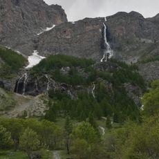
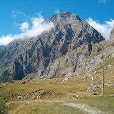
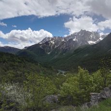
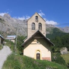
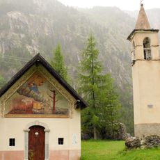
The trail starts from Fouillouse village and requires solid mountain experience and sturdy boots for rocky sections along the way. Begin early in the day and check weather conditions carefully, as mountain conditions can change rapidly.
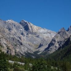
Two small glaciers that once occupied the northern face have gradually melted away over recent decades. This transformation serves as a visible record of environmental shifts affecting high mountain regions.
The community of curious travelers
AroundUs brings together thousands of curated places, local tips, and hidden gems, enriched daily by 60,000 contributors worldwide.