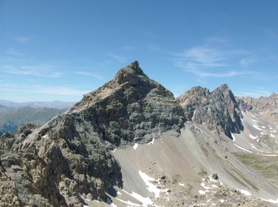
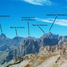
Rocca Blancia, Summit and mountain peak in Piedmont, Italy and Provence-Alpes-Côte d'Azur, France
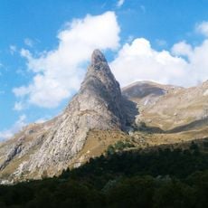
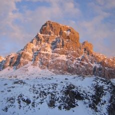
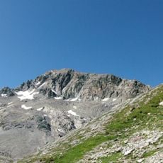
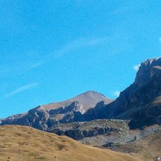
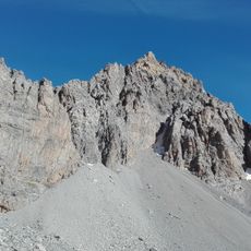
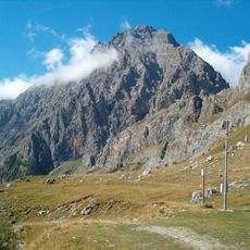
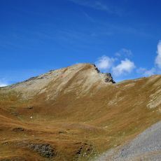
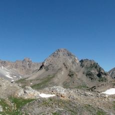
Rocca Blancia is a mountain peak at 3,193 meters (10,475 ft) marking the border between France and Italy, composed of limestone and sandstone formations. The summit displays distinct geological structures, particularly a horizontal fault plane on its southwestern side that reveals multiple rock types.
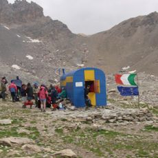
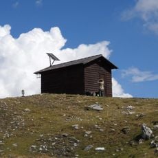
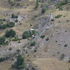
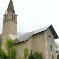
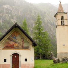
For centuries, this peak has served as a natural boundary between Italian and French territories, shaping life in the surrounding region. Shepherds historically crossed its slopes to move between valleys, establishing routes that linked communities on both sides.
The mountain carries three names - Rocca Blancia, Rocca Blanca, and Roche Blanche - reflecting the blend of Italian and French cultures in this border region. Walking through the area, you encounter both languages and see how local traditions from each side intertwine naturally.
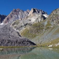
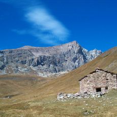
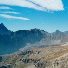
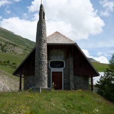
The standard route climbs the western slope from Meyronnes following marked trails that pass a lower lake before reaching steeper terrain. Good physical fitness and proper hiking boots are important, as the ascent becomes increasingly steep and the altitude requires acclimatization.
The mountain displays a striking horizontal fault plane on its southwestern flank where dolomite and flysch sandstone meet visibly. Few visitors notice this geological feature, though it stands out clearly once pointed out and offers insight into the region's mountain-building processes.
The community of curious travelers
AroundUs brings together thousands of curated places, local tips, and hidden gems, enriched daily by 60,000 contributors worldwide.