Cascate di Stroppia, Mountain waterfall in Valle Maira, Piedmont, Italy
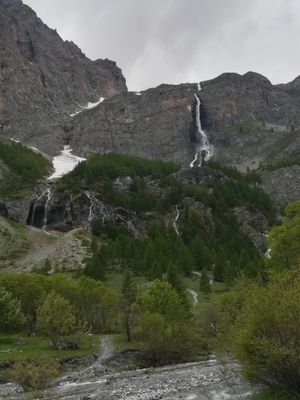
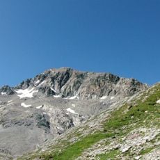
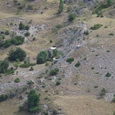
Cascate di Stroppia is a waterfall in the Italian Alps near Acceglio that drops down a steep rock face in multiple stages over a considerable vertical distance. The water flows through several distinct tiers, creating a series of cascades that descend through the mountain terrain.
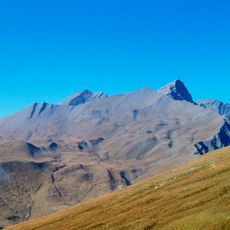
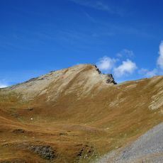
The waterfall functioned as a natural boundary between different mountain communities in the Piedmont region during medieval times. This role as a dividing line gave the location importance in how communities organized their territories.
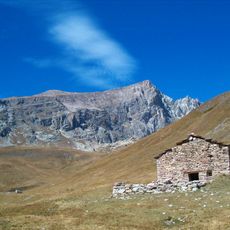
The waterfall has been woven into the daily life of Valle Maira residents for generations, with shepherds and mountain dwellers passing through these paths as part of their seasonal routines. The falls remain a familiar landmark in local tradition and a marker of the mountain landscape.
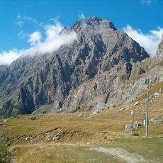
Access is via a marked hiking trail that starts at Camping Senza Frontiere and leads to several viewing points along the falls. The best time to visit is between May and July, when water volume is highest and hiking conditions are most favorable.
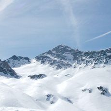
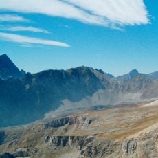
The water feeding the falls originates from Lake Niera and follows a seasonal pattern, reaching peak volume during late spring snowmelt when the flows are dramatically stronger. This means the waterfall looks and sounds quite different depending on when you visit during the year.
The community of curious travelers
AroundUs brings together thousands of curated places, local tips, and hidden gems, enriched daily by 60,000 contributors worldwide.