Buc de Nubiera, Summit in Cottian Alps, France and Italy
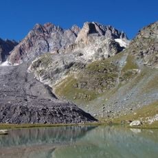
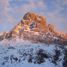
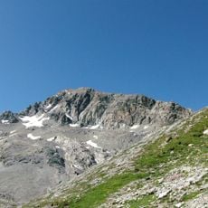
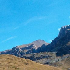
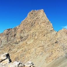
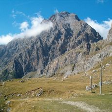
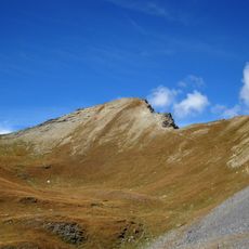
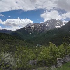
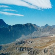
Buc de Nubiera is a 3215 m summit on the main Alpine watershed in the Chambeyron group of the Cottian Alps, on the France–Italy border between the upper Maira and Ubaye valleys. Its crest rises from the col de Nubiera (2865 m) past an unnamed 3016 m point to the top, where pink Jurassic micritic limestone outcrops; Triassic dolomite appears on the east face. A fault line ends just south of the summit. The photograph shows a jagged grey-tan crest above a fan of fine scree, with snow in shaded crevices.
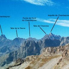
The mountain lies on the main Alpine watershed in the Chambeyron group, just south of the Brec de Chambeyron. The Italian normal route starts at Chiappera (Acceglio), follows the Dino Icardi trail to the Nubiera pass and climbs a gully on the east face to the south ridge, graded PD. The French route from Fouillouse (Saint-Paul-sur-Ubaye) ascends the couloir to the Renato Montaldo bivouac, graded F, and is also skied in winter.
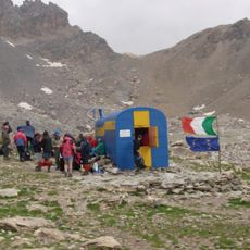
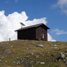
The peak lies on the main Alpine watershed between the Maira and Ubaye valleys, and its two names reflect that: Italian maps call it Buc de Nubiera, while the French route to the col uses col de Stroppia for the same pass. The Renato Montaldo bivouac near the summit belongs to the Giovane Montagna association of Genoa.
Reaching the summit requires solid mountain experience and good acclimatization due to steep pitches and exposed sections. Weather conditions change rapidly at this elevation, so careful planning and awareness are essential for a safe visit.
An emergency shelter sits near the summit and provides refuge for climbers in difficult situations. This bivouac is one of the highest refuge points in the Ubaye region and serves as a critical safety resource.
The community of curious travelers
AroundUs brings together thousands of curated places, local tips, and hidden gems, enriched daily by 94,658 contributors worldwide.