Pics de la Font Sancte, Mountain summits in Hautes-Alpes, France.
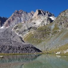
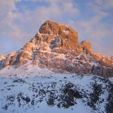
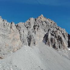
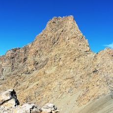
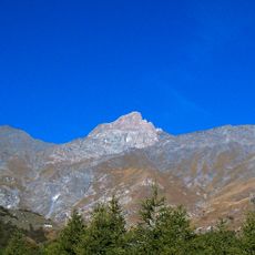
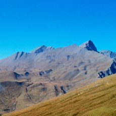
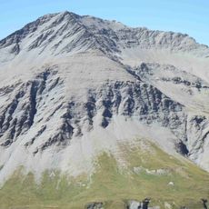
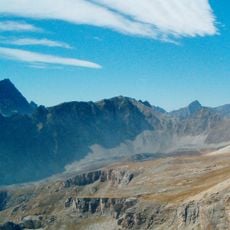
The Pics de la Font Sancte are two summits, north at 3,385 m and south at 3,371 m, in the Escreins Massif of the southern Cottian Alps, Hautes-Alpes. They rise between the upper Ubaye valley, Val d'Escreins and the Ceillac valley, at the edge of the Queyras Regional Park. Pale grey and tan rock, sharp ridges and a broad scree slope descend toward the valley, with snow patches near the highest point.
The peaks are named after the Font Sancte, a spring that rises from the rock at 2,358 metres in the valley below them. The two summits, the north at 3,385 metres and the south at 3,371 metres, form the highest point of the Escreins Massif in the southern Cottian Alps.
The peaks are named after the Font Sancte, a spring that rises from the rock at 2,358 m in the valley below the summits. A long-distance footpath, the GRP Tour de la Font Sancte, loops through the massif and passes this spring.
Reaching the northern peak involves navigating a steep corridor with a 40-degree slope where snow-covered conditions make the route safer. These snowy passages significantly reduce the danger of falling rocks compared to dry season climbing.
The name Font Sancte comes from a spring that rises from the rock at 2,358 m in the valley below the summits. A long-distance footpath, the GRP Tour de la Font Sancte, loops through the peaks area and passes this source.
The community of curious travelers
AroundUs brings together thousands of curated places, local tips, and hidden gems, enriched daily by 93,004 contributors worldwide.