Monte Ferra, Mountain peak in Varaita Valley, Italy
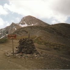
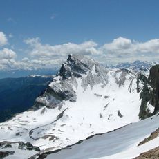
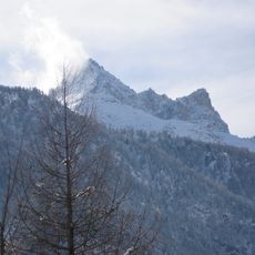
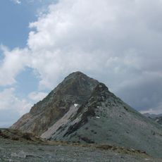
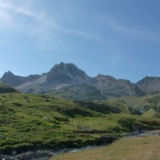
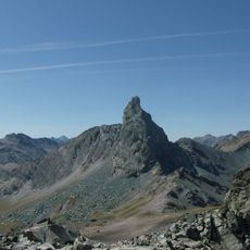
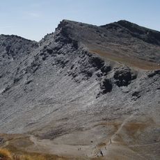
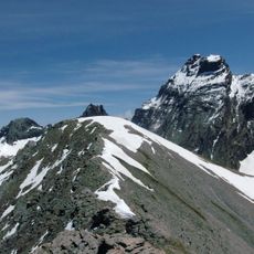
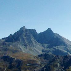
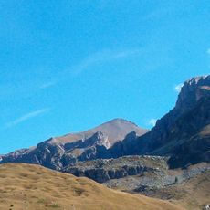
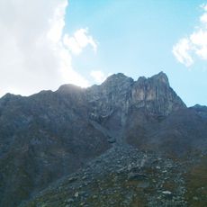
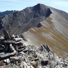
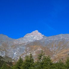
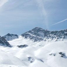
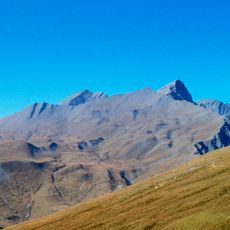
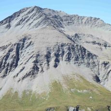
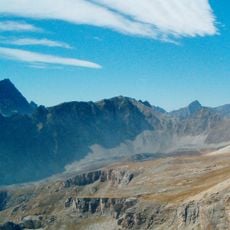
Monte Ferra is a 3,094-metre summit in the Cottian Alps, on the ridge between the Fiutrusa valley and the Bellino Varaita valley. Its north face drops in steep, broken rock walls visible from Pontechianale, while the south side is a fairly uniform scree slope. The mountain belongs to the Permo-Carboniferous of Sampeyre, built of conglomeratic quartzites interbedded with micaschists and sericitic schists.
Monte Ferra belongs to the Permo-Carboniferous of Sampeyre, built of conglomeratic quartzites interbedded with micaschists (Alpine Verrucano) and sericitic schists, both Permian formations. North-south faults cut the massif, and east of the easternmost fault, toward Colle del Bondormir and below the Fiutrusa walls, Jurassic-Cretaceous ophiolite-bearing calcschists of Gastaldi's greenstone complex outcrop.
The mountain's climbing history includes the Grassi-Tessera goulotte, an icefall on the Bondormir side first climbed by Gian Carlo Grassi. The Y-shaped couloir on the northeastern buttress is a classic winter ice route rated D, approached from the Fiutrusa valley above Pontechianale.
The main approach starts from the Reisassa stream valley near Sant'Anna di Bellino following trail U65 to Reisassa Lake at the base. Proper mountain boots and acclimatization to altitude are essential for this elevation.
The Grassi-Tessera goulotte on the Bondormir side is a 6-pitch icefall with long sections at 80° and a vertical first pitch; Gian Carlo Grassi made the first ascent. It is reached by climbing from Sant'Anna di Bellino toward the Colle del Bondormir.
The community of curious travelers
AroundUs brings together thousands of curated places, local tips, and hidden gems, enriched daily by 92,894 contributors worldwide.