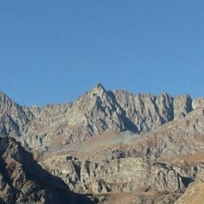
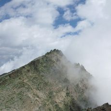
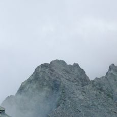
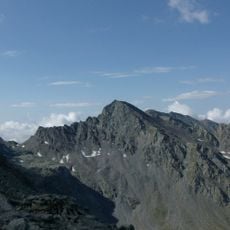
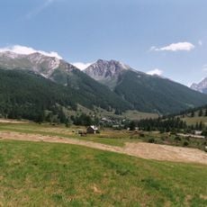
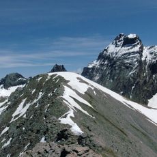
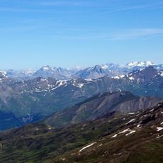
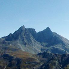
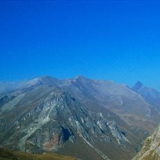
Pic de Caramantran, Alpine summit in Queyras Regional Natural Park, France.
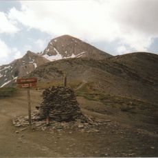
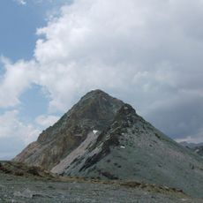
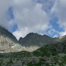
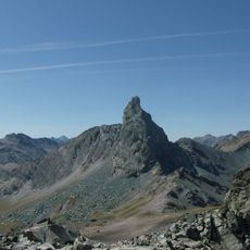
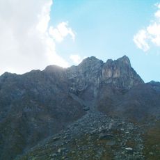
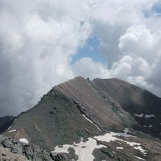
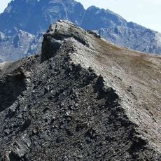
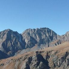
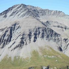
Pic de Caramantran, called Monte Pelvo in Italian, is a summit on the French-Italian border between the Queyras and the upper Varaita valley. Its altitude is given as 3,021 metres on Italian IGM maps and 3,025 metres on French IGN maps. The peak rises from loose grey and brown rock and scree, with a steep, gullied left flank and darker rocky ribs; below the top a broad ridge carries a faint tan path past two clusters of blocky rock.
The summit lies on the Franco-Italian border between the Queyras and the upper Varaita valley, shared by Saint-Véran, Molines-en-Queyras and Pontechianale. Its Italian name Pelvo comes from a Celtic root for a steep rocky mountain, a toponym common in the Cottian Alps. The normal routes reach it via the Col de Chamoussière (2,884 m) or the Col de Saint-Véran (2,844 m).
The name Pelvo, used on Italian maps, comes from a Celtic root for a steep rocky mountain; it recurs across the Cottian Alps. The summit marks the border between Saint-Véran and Molines-en-Queyras in France and Pontechianale in Italy, and walkers reach it from the Agnel refuge or the Chamoussière pass.
Climbing this summit requires technical mountaineering skills and proper equipment such as ropes and sturdy footwear designed for rock. Summer offers the safest window for an attempt, when conditions are most stable and daylight hours are long.
The name Pelvo, used on Italian maps, comes from a Celtic root for a steep rocky mountain; the same term recurs across the Cottian Alps. The summit stands on the border, with the French slopes inside the Queyras regional nature park.
The community of curious travelers
AroundUs brings together thousands of curated places, local tips, and hidden gems, enriched daily by 92,895 contributors worldwide.