Le Pain de Sucre, Mountain summit at France-Italy border, Hautes-Alpes.
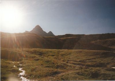
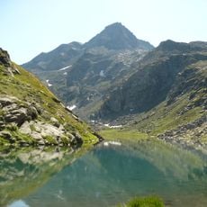
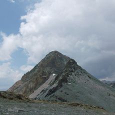
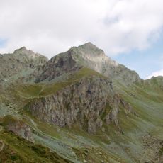
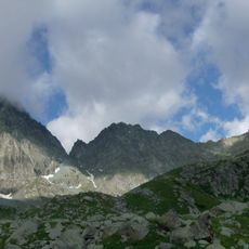
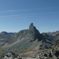
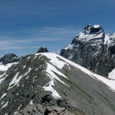
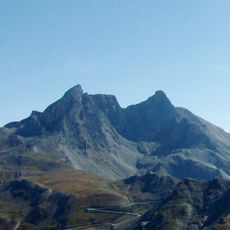
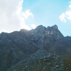
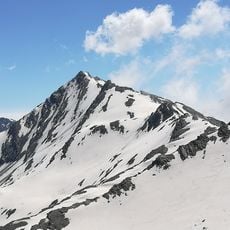
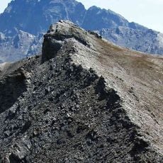
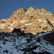
Le Pain de Sucre is a mountain summit on the France-Italy border standing at 3,208 meters, marked by steep terrain that circles the base before a final demanding ascent. The route winds around the mountain's slopes, gradually rising until reaching the summit's narrow peak.
The peak was originally called Aiguillette before being renamed to its current designation, establishing itself as a significant point along the France-Italy mountain border. This naming change reflects its growing importance as a recognized landmark in the Alpine border region.
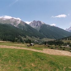
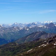
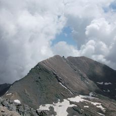
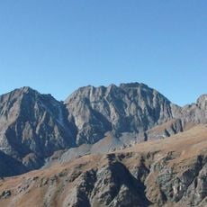
This summit marks the boundary between the French Hautes-Alpes and Italian Piedmont, serving as a natural meeting point for two Alpine regions. People from both sides use this location to experience the landscape and geography that define their respective mountain territories.
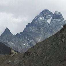
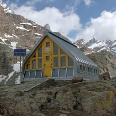
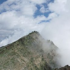
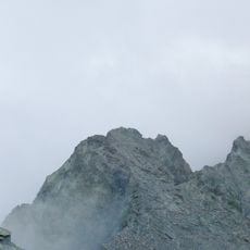
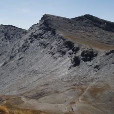
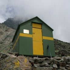
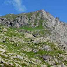
The hike starts from Refuge Agnel at 2,580 meters and covers about 6 kilometers with roughly 600 meters of elevation gain. The terrain becomes steeper as you approach the summit, so sturdy footwear and good fitness are important for managing the final ascent.
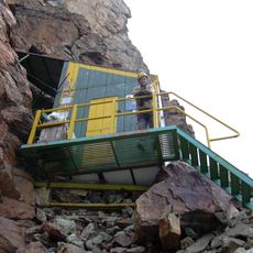
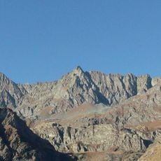
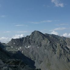
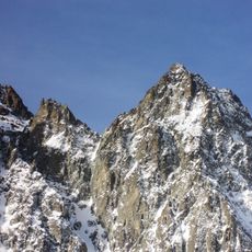
Stone shelters at the summit provide refuge from strong winds while opening views across to Monte Viso, Mont Blanc, and surrounding Alpine peaks. These structures allow visitors to rest and take in the scenery while protected from the fierce mountain winds.
The community of curious travelers
AroundUs brings together thousands of curated places, local tips, and hidden gems, enriched daily by 60,000 contributors worldwide.