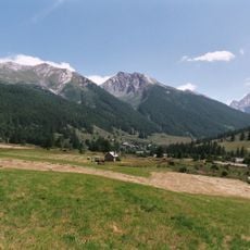
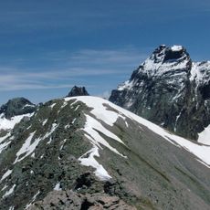
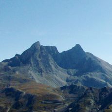
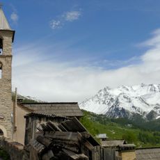
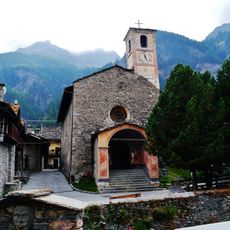
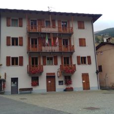
Punta dell'Alp, Mountain summit at France-Italy border, Hautes-Alpes and Piedmont.
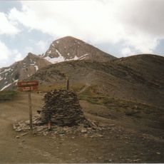
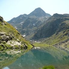
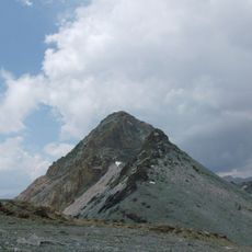
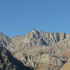
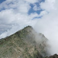
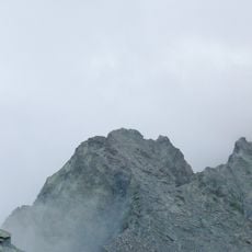
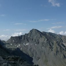
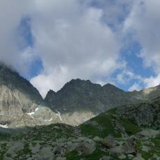
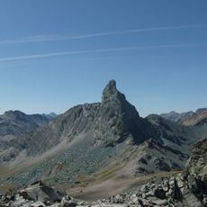
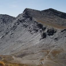
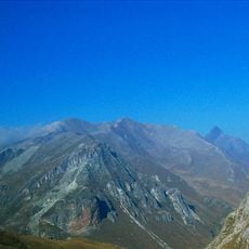
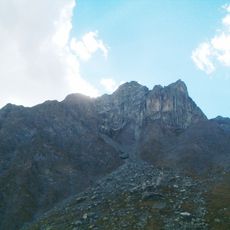
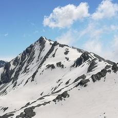
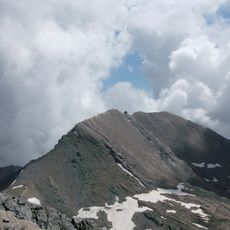
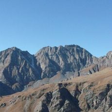
Punta dell'Alp is a mountain summit in the Escreins massif that rises to 3031 meters (9945 feet) and forms the border between France and Italy. The peak features steep slopes and exposed rock formations along its northern and southern ridges.
Punta dell'Alp lies on the watershed between the Italian Val Varaita and the French Queyras, on the border between Pontechianale (CN) and Ristolas (Hautes-Alpes). The French slope falls within the Queyras regional nature park. Italian IGM maps give the summit as 3031 m, French IGN maps as 3033 m, and on French maps the peak carries no name.
The peak is unnamed on French maps, while Italian IGM charts give 3031 m and French IGN charts 3033 m. On the Italian side the summit sends a side ridge, the Costa Biavette, southward between the Saint-Véran and Agnello valleys, ending near the hamlet of Chianale.
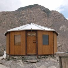
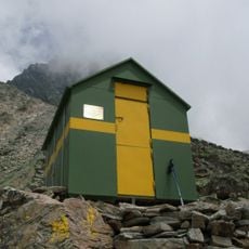
Climbers can reach the summit from Saint-Véran in France or Chianale in Italy, with the Agnel refuge providing shelter at 2580 meters (8465 feet) elevation. Summer offers the most stable conditions for an ascent up this exposed terrain.
The summit is unnamed on French IGN maps, and its height is given as 3031 m by Italian IGM cartography but 3033 m by the French IGN. A secondary ridge, the Costa Biavette, branches south from the peak and separates the Saint-Véran and Agnello valleys, ending near Chianale.
The community of curious travelers
AroundUs brings together thousands of curated places, local tips, and hidden gems, enriched daily by 94,021 contributors worldwide.