Chemin de Stevenson, Long-distance walking path in south-central France
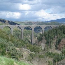
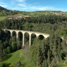
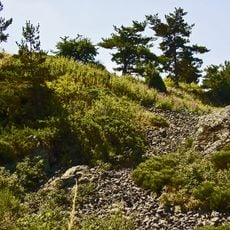
The Chemin de Stevenson is a long-distance walking path in south-central France that runs for 169 miles (272 kilometers) from Le Puy-en-Velay to Alès. The trail crosses four departments and passes over volcanic plateaus, forested ridges and through the Cévennes region.
Robert Louis Stevenson walked this route in autumn 1878 together with his donkey Modestine and recorded his experiences in a travel book. His account later made the route famous and inspired many hikers to follow the same path.
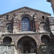
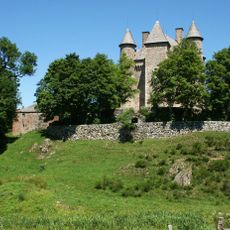
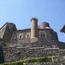
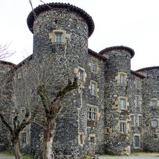
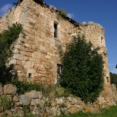
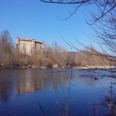
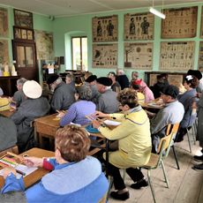
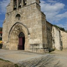
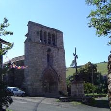
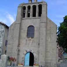
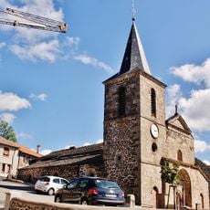
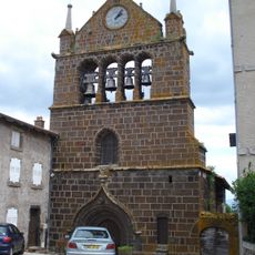
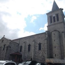
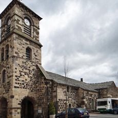
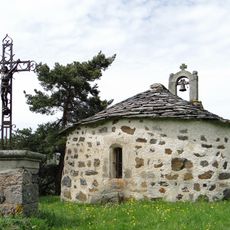
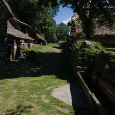
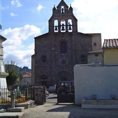
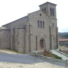
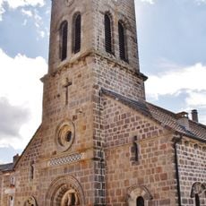
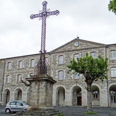
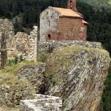
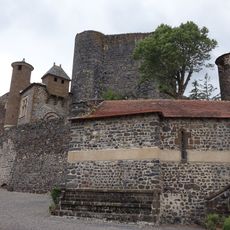
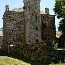
The route carries the name of a Scottish writer and attracts hikers from different countries who want to follow his historic journey. Along the way stone houses and small villages appear, where residents still maintain traditional crafts and regional cooking.
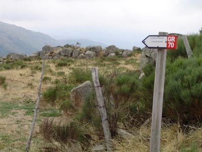
White and red markings guide hikers along the entire route through changing landscapes and over different elevations. Lodging ranges from simple campsites to guesthouses, and many sections allow walking with pack animals.
Hikers can travel with donkeys that carry luggage and help slow the pace while noticing the surroundings more carefully. The highest point sits at Mont Lozère at 5,568 feet (1,697 meters) and offers wide views over bare uplands.
Website: https://chemin-stevenson.org
GPS coordinates: 44.93970,3.99610
Latest update: December 14, 2025 20:38
Cascade de la Beaume
8.3 km
Château de Beaufort
8.3 km
Viaduc de la Recoumène
1.9 km
Saint-Chaffre du Monastier
78 m
Château de Vachères
6.4 km
Château de Bouzols
8.3 km
Château du Monastier-sur-Gazeille
45 m
Château de Soubrey
8.5 km
Château de Volhac
8.9 km
Viaduc des Badioux
3.3 km
Musée de l'école du Monastier
94 m
Église Saint-Pierre de Salettes
9 km
Église de la Nativité-de-la-Sainte-Vierge de Saint-Martin-de-Fugères
6.2 km
Église Saint-Jean de Le Monastier-sur-Gazeille
454 m
Église Saint-Nicolas de Freycenet-la-Tour
5.1 km
Église Saint-Martin, Le Brignon
9.1 km
Église Saint-Vincent de Lantriac
6.8 km
Église Saint-Pierre-aux-Liens
5.6 km
Chapelle de la Chapelette
8.3 km
Ferme Perrel
8.5 km
Église Saint-Georges de Coubon
8.9 km
Église Saint-Amand de Chadron
5.3 km
Église Saint-Jean-Baptiste de Freycenet-la-Cuche
8.8 km
Abbaye du Monastier-sur-Gazeille
90 m
Camp d'Antoune
8.6 km
Chapelle Saint-Jacques-le-Majeur d'Arlempdes
10 km
Chapelle du château de Bouzols
8.3 km
Maison-forte de Freycenet
8.8 kmVisited this place? Tap the stars to rate it and share your experience / photos with the community! Try now! You can cancel it anytime.
Discover hidden gems everywhere you go!
From secret cafés to breathtaking viewpoints, skip the crowded tourist spots and find places that match your style. Our app makes it easy with voice search, smart filtering, route optimization, and insider tips from travelers worldwide. Download now for the complete mobile experience.
A unique approach to discovering new places❞
— Le Figaro
All the places worth exploring❞
— France Info
A tailor-made excursion in just a few clicks❞
— 20 Minutes