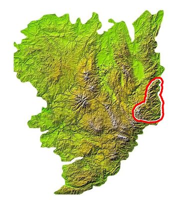
Monts du Vivarais, Mountain range in Ardèche, France
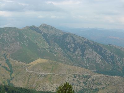
The Monts du Vivarais is a mountain range in Ardèche featuring several peaks across a broad area, with dense forests giving way to more open terrain at higher elevations. The landscape shows deep valleys, rocky outcrops, and highland plateaus that shape its appearance.
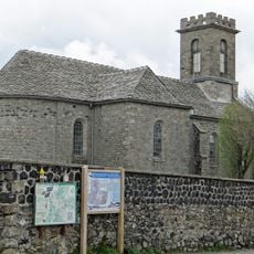
People have lived in this mountain region since ancient times, with evidence of human settlements found across the area. Communities established themselves here over many centuries and adapted to life in the highlands.
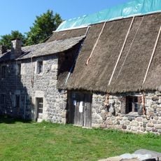
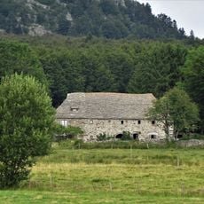
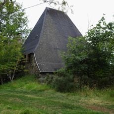
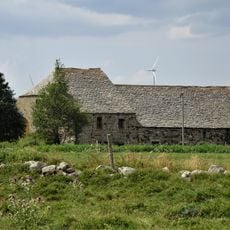
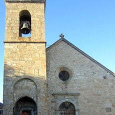
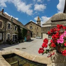
The villages surrounding these mountains maintain traditional ways of living that reflect centuries of connection to the land and its resources. You can see how local communities have shaped their daily lives around the rhythm of the seasons and the resources this landscape provides.
Hiking trails of different difficulty levels run through the mountains, allowing visitors to choose routes that match their fitness and interests. It helps to check local conditions before heading out, as weather and ground conditions vary with the seasons.
As you move across the range, changing elevations create different climate zones that support different plants, so a single hike can take you through multiple landscape types. This variety means visitors experience significant natural changes across relatively short distances.
The community of curious travelers
AroundUs brings together thousands of curated places, local tips, and hidden gems, enriched daily by 60,000 contributors worldwide.