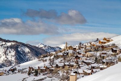
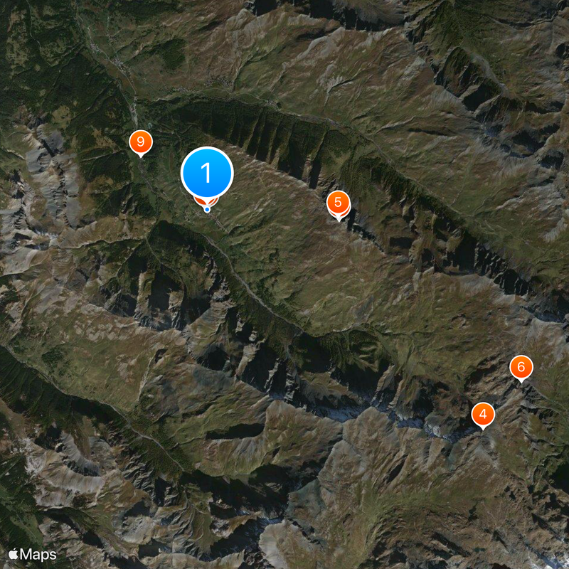
Saint-Véran, Ski resort in Hautes-Alpes, France
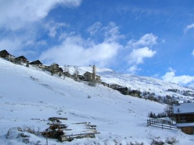
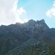
Saint-Véran is a commune in Hautes-Alpes, France, with a ski area that spreads across several slopes between 1750 and 2830 meters (5740 and 9280 feet) elevation. The runs include green beginner zones and steeper red descents served by multiple lifts.
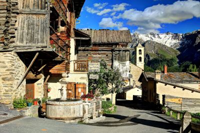
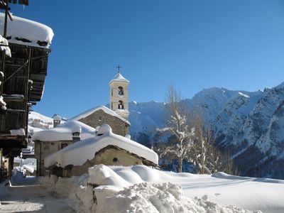
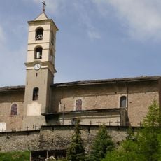
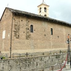
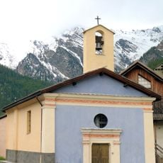
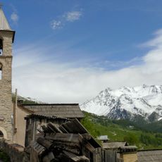
Copper mining brought settlers here during the Middle Ages, establishing the village at an altitude later recognized as Europe's highest permanent settlement. The church from the 17th century replaced earlier chapels and was expanded using timber from surrounding forests.
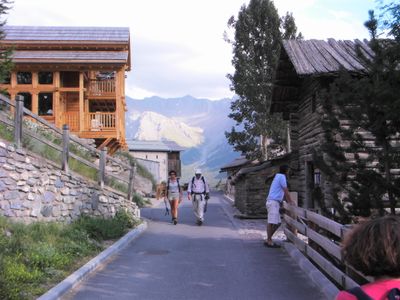
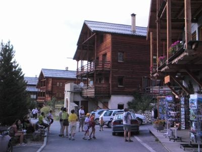
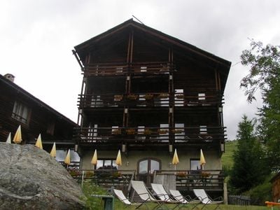
Wooden houses called fustes stand close together along narrow lanes, their balconies carved with sun motifs and dates from past centuries. Local families still use the ground floors for storage while living upstairs, following the layout that kept people and animals warm together through winter.
The terrain suits families and less experienced skiers, as most runs slope gently and are well groomed. The commune offers equipment rentals and lodging in wooden houses or small inns within walking distance of the lifts.
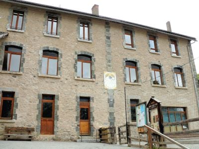
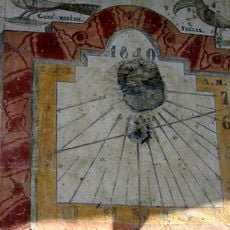
More than thirty sundials are mounted on house walls throughout the village, showing time with mathematical precision developed by earlier inhabitants. Many carry Latin inscriptions and complex dials that also mark the passage of seasons.
Location: canton of Aiguilles
Location: Hautes-Alpes
Location: arrondissement of Briançon
Elevation above the sea: 2,428 m
Shares border with: Saint-Paul-sur-Ubaye, Ceillac, Molines-en-Queyras, Pontechianale
Address: 546 Rte de Saint-Claude, 05350 Saint-Véran, France
Opening Hours: Monday-Tuesday 09:00-12:00; Thursday-Friday 09:00-12:00
Phone: +33492458391
Email: mairie.stveran@wanadoo.fr
GPS coordinates: 44.70000,6.86833
Latest update: December 13, 2025 19:43
Observatoire de Saint-Véran
3 km
Église Saint-Véran
40 m
Roc della Niera
8.1 km
Pic de Château Renard
3 km
Rocca Bianca
8.2 kmDrinking fountain, fountain
26 m
Cimetière de Saint-Véran
73 m
Chapelle Sainte-Agathe de la Chalp
2 kmPointe de Jacquette
3.3 kmGrand Queyras
6.8 km
Maison avec cadran solaire de Zarbula
430 mPointe de Rasis
3.8 kmPointe des Sagnes Longues
6.3 kmPointe des Avers
4.6 kmPointe des Marcellettes
3.7 km
Temple de l'église protestante unie de France de Saint-Véran
228 mLe Queyron
5.5 kmMaison du soleil de Saint-Véran
355 mScenic viewpoint
2.5 kmScenic viewpoint
708 mWayside cross, survey marker, triangulation station
8.1 kmWayside shrine, Christianity
732 mOratoire de la Sainte-Vierge
1.2 kmWayside cross, Catholic church building
671 mCatholic church building, wayside cross, tourist attraction
328 mWayside cross
1.5 kmOratoire Ste-Luce
795 mOratoire Saint-Antoine
2.5 kmVisited this place? Tap the stars to rate it and share your experience / photos with the community! Try now! You can cancel it anytime.
Discover hidden gems everywhere you go!
From secret cafés to breathtaking viewpoints, skip the crowded tourist spots and find places that match your style. Our app makes it easy with voice search, smart filtering, route optimization, and insider tips from travelers worldwide. Download now for the complete mobile experience.
A unique approach to discovering new places❞
— Le Figaro
All the places worth exploring❞
— France Info
A tailor-made excursion in just a few clicks❞
— 20 Minutes