Bonneville, Administrative center in Haute-Savoie, France
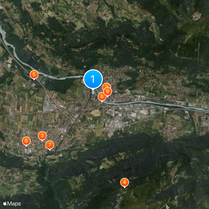
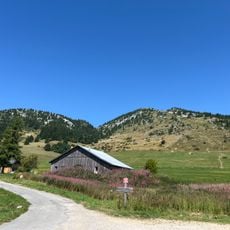
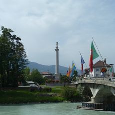
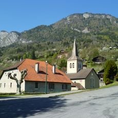
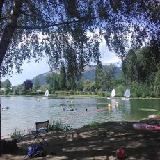
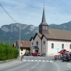
Bonneville sits on the north bank of the Arve River and is surrounded by the Voralpen mountains, positioned between Geneva and Chamonix. The town spreads across a valley floor with mountains framing the landscape on either side.
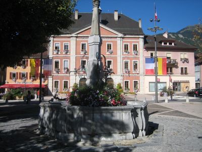
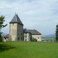
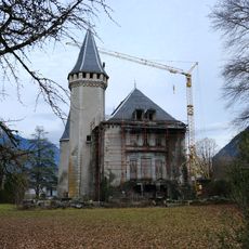
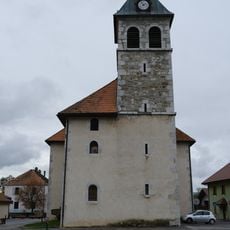
The settlement began as Tucinge in 1262 under Count Pierre II of Savoy, then Beatrice of Faucigny renamed it to Bonneville and granted it a charter in 1289. This formal recognition transformed it into a proper town with legal rights.
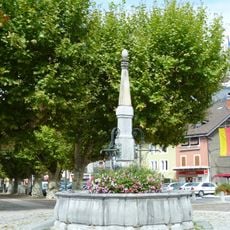
The town hosts regular markets where locals and visitors encounter regional products and producers from the surrounding valleys. These gatherings reflect how the place remains connected to its agricultural roots.
The railway station offers connections to nearby towns and valley destinations for regional travel. The A40 motorway provides road access to major destinations in both directions, making it easy to explore the wider area.
The town sits where two landscape types meet: a wide fertile plain extends to the west while glacial formations shape the terrain to the east. This meeting point creates a striking contrast within the local geography.
Location: Haute-Savoie
Location: arrondissement of Bonneville
Inception: 1262
Elevation above the sea: 616 m
Shares border with: Arenthon, Ayze, Brizon, Contamine-sur-Arve, Faucigny, Mont-Saxonnex, Saint-Jean-de-Tholome, Saint-Pierre-en-Faucigny, Vougy, Glières-Val-de-Borne
Phone: +33450252200
Email: courrier@ville-bonneville.fr
Website: https://bonneville.fr
GPS coordinates: 46.07889,6.40083
Latest update: December 19, 2025 22:50
Château de Bonneville
571 m
Château d'Arcine
3 km
Pointe d'Andey
4.2 km
TNA
2.6 km
Colonne de Charles Félix
538 m
Château de Cohendier
3 kmChâteau de Chuet
3.6 km
Fontaine de Bonneville
635 m
Église Saint-Pierre d'Ayse
2.7 km
Base Nautique du lac de Motte Longue
1.8 km
Église Saint-Laurent de Saint-Laurent
4.8 km
Église Saint-Martin de Pontchy
1.2 kmChâteau de Rumilly-sous-Courcillon
3.7 kmScenic viewpoint
2.8 kmScenic viewpoint
2.4 kmScenic viewpoint
2.7 kmScenic viewpoint
3.5 kmScenic viewpoint
2.7 kmScenic viewpoint
2 kmScenic viewpoint
4.6 kmScenic viewpoint
4.2 kmLe Môle
5.2 kmChemin de croix d'Orgevat
2.7 kmCascade du Dard
2 kmScenic viewpoint
2.3 kmScenic viewpoint
1.7 kmScenic viewpoint
4.2 kmVisited this place? Tap the stars to rate it and share your experience / photos with the community! Try now! You can cancel it anytime.
Discover hidden gems everywhere you go!
From secret cafés to breathtaking viewpoints, skip the crowded tourist spots and find places that match your style. Our app makes it easy with voice search, smart filtering, route optimization, and insider tips from travelers worldwide. Download now for the complete mobile experience.
A unique approach to discovering new places❞
— Le Figaro
All the places worth exploring❞
— France Info
A tailor-made excursion in just a few clicks❞
— 20 Minutes