Couesnon, River in northwestern France
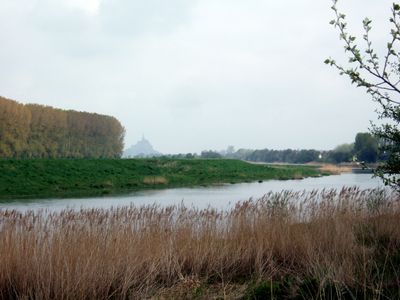
The Couesnon River starts in Mayenne and flows through meadows and forests before widening into an estuary near Mont-Saint-Michel. The water passes through soft landscapes and creates a boundary between Normandy and Brittany.
The river shifted its course across centuries between different channels, which shaped Mont-Saint-Michel's location between two regions. These water movements determined the boundary between Normandy and Brittany in this area.
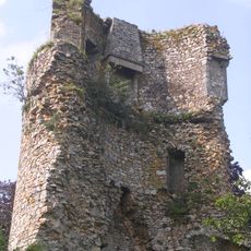
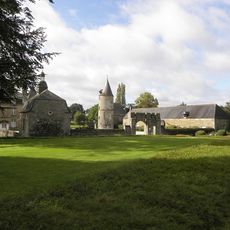
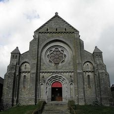
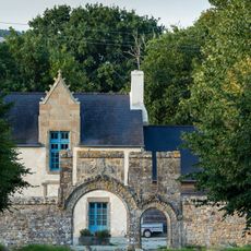
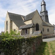
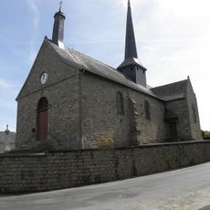
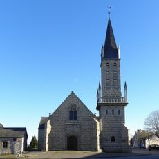
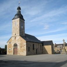
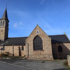
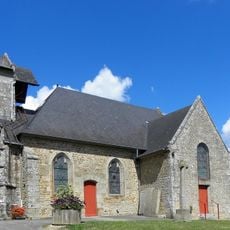
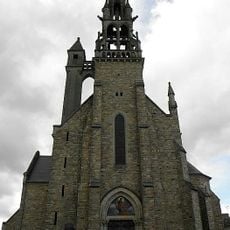
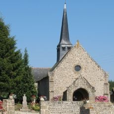
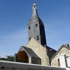
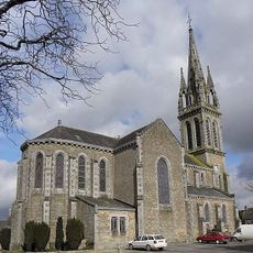
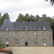
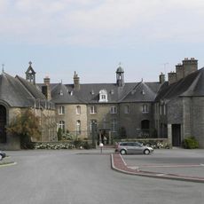
Granite buildings line the banks, showing how local people have used this river for generations. Communities built their homes and paths around the water, reflecting their deep connection to it.
Walking trails run through the river valley and connect several villages, making it easy to explore on foot. Spring through autumn offers the best conditions for nature watching and walking along the banks.
During spring tides, water unusually flows backward from the bay of Mont-Saint-Michel into the river. This rare backward flow happens because of the difference between ocean and river levels, making it one of the coast's special features.
The community of curious travelers
AroundUs brings together thousands of curated places, local tips, and hidden gems, enriched daily by 60,000 contributors worldwide.