Enable Location

We need your location to show you interesting places around you

Discover nearby places

Find interesting locations and hidden gems around you

Precise directions

Get accurate directions and distances to places

Your location is never shared with other users. It's only used when you tap the location button.

Lugny-lès-Charolles

Log in to your account

Start exploring — it's free

Trusted by 61,558 travelers worldwide

Continue with Google
Continue with Apple
or

We will send you a code to connect

By continuing, you accept our Terms and Conditions and our Privacy Policy

Check your inbox

We've sent a pincode in your inbox. Please enter the code below.

Lugny-lès-Charolles

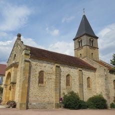
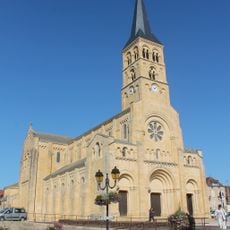
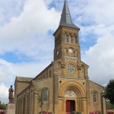
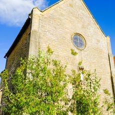
Lugny-lès-Charolles, Rural commune in Saône-et-Loire, France

Description

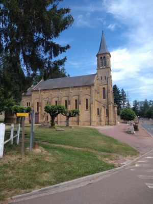
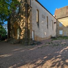
Lugny-lès-Charolles is a small commune in the Saône-et-Loire region that stretches along the Arconce River and is defined by pastures and agricultural land. The village features typical stone buildings and retains its rural character with open meadows and traditional farm structures.

History

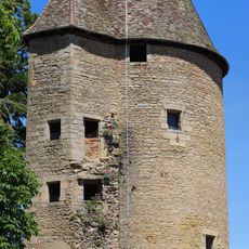
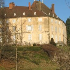
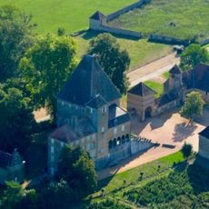
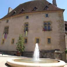
The territory originated from a medieval barony protected by a fortress for roughly a thousand years until it was abandoned in the 18th century. The territorial structure of the commune today preserves this long past in its geographical form.

Culture

The village is known for its traditional cattle breeding, particularly the white Charolais cattle that graze in the green meadows. This heritage shapes the appearance of the landscape and is part of the daily reality of the area.

Practical

The village is located roughly 6 kilometers from Charolles and 9 kilometers from Paray-le-Monial, making it accessible from larger towns. Visitors can explore the landscape best on foot or by car, as the terrain is flat and open.

Did you know?

A renovated mill building on the Arconce River uses a modern turbine to generate electricity while preserving its historical mechanism. This blend of old architecture and renewable energy shows how traditional places adapt to the present.

Location
Industry
administration publique générale
Shares border with
Champlecy, Changy, Hautefond, Nochize, Saint-Julien-de-Civry
Address
71120 Lugny-lès-Charolles, France
Phone
GPS coordinates
46.41083,4.21167
Latest update
December 14, 2025 12:21

AroundUs brings together thousands of curated places, local tips, and hidden gems, enriched daily by 60,000 contributors worldwide. Discover all places nearby (Saône-et-Loire).

« Lugny-lès-Charolles - Rural commune in Saône-et-Loire, France » is provided by Around Us (aroundus.com). Images and texts are derived from Wikimedia project under a Creative Commons license. You are allowed to copy, distribute, and modify copies of this page, under the conditions set by the license, as long as this note is clearly visible.

Discover hidden gems everywhere you go!

From secret cafés to breathtaking viewpoints, skip the crowded tourist spots and find places that match your style. Our app makes it easy with voice search, smart filtering, route optimization, and insider tips from travelers worldwide. Download now for the complete mobile experience.

Around Us App Screenshot

A unique approach to discovering new places

Le Figaro

All the places worth exploring

France Info

A tailor-made excursion in just a few clicks

20 Minutes

Around Us
Travel Guide & Maps
Download

Send to your phone

QR Code
1

Open the camera app on your mobile.

2

Point at the QR code with your camera. A notification will appear.

3

Tap the notification to open the link.