
Souday, former commune in Loir-et-Cher, France
Location: canton of Mondoubleau
Location: Loir-et-Cher
Location: Arrondissement of Vendôme
Elevation above the sea: 157 m
Shares border with:
GPS coordinates: 48.03667,0.86639
Latest update: May 30, 2025 18:53
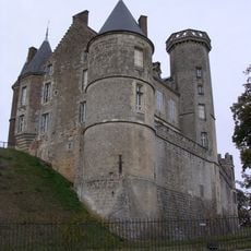
Château de Montmirail
9.3 km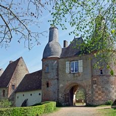
Commanderie d'Arville
6.8 km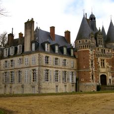
Château de Saint-Agil
4.5 km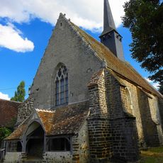
Église Saint-Martin de Sargé-sur-Braye
12.7 km
Église Saint-Clément de Choue
6.2 km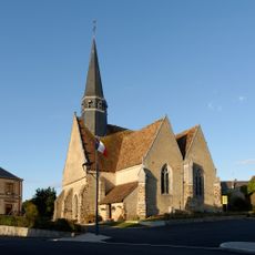
Église Saint-Pierre de Boursay
7.9 km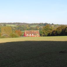
Logis de la Pinellière
10.5 km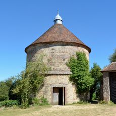
Pigeonnier de la Commanderie d'Arville
6.9 km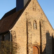
Église Notre-Dame
9 km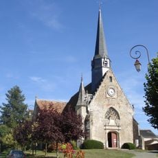
Église Saint-Jean-Baptiste de Baillou
7.9 km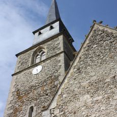
Église Saint-Ulphace de Saint-Ulphace
14.1 km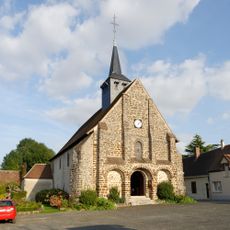
Église Saint-Loup-Saint-Gilles de La Fontenelle
12.1 km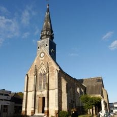
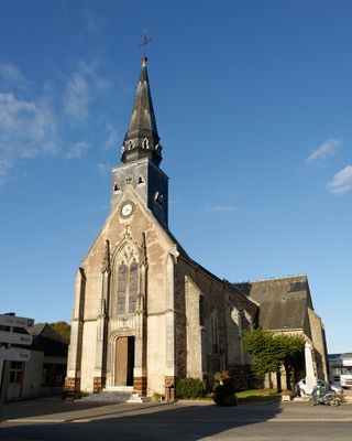
Église Saint-Pierre de Souday
41 m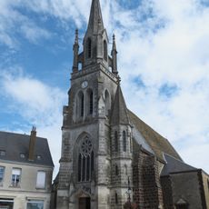
Église Saint-Denis de Mondoubleau
6.6 km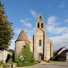
Église Notre-Dame d'Arville
6.8 km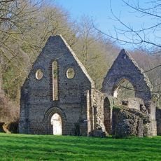
Chapelle Notre-Dame-de-l'Assomption de Guériteau
5.6 km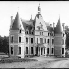
Château de la Cour
3.2 km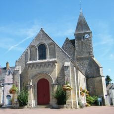
Église Saint-Almire de Gréez-sur-Roc
12.4 km
Église Sainte-Anne
10.5 km
Église Saint-Jean-Baptiste des Échelles
15.4 km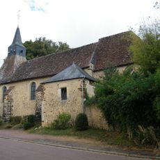
Église Saint-Jean-Baptiste du Plessis-Dorin
5.9 km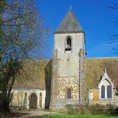
Église de la Nativité-de-la-Bienheureuse-Vierge-Marie du Temple
12.6 km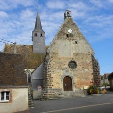
Église Saint-Cyr de Sargé-sur-Braye
12.5 km
Église Saint-Agil et Saint-Fiacre
4.5 km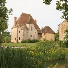
Manoir de Rocheux
4.5 km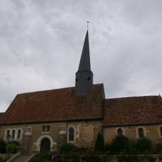
Église Saint-Jean de Marolles-lès-Saint-Calais
14.5 km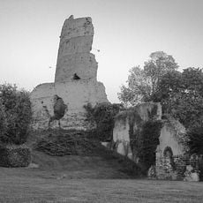
Château de Mondoubleau
6.7 km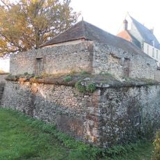
Château des Radrets
11.2 kmReviews
Visited this place? Tap the stars to rate it and share your experience / photos with the community! Try now! You can cancel it anytime.
Discover hidden gems everywhere you go!
From secret cafés to breathtaking viewpoints, skip the crowded tourist spots and find places that match your style. Our app makes it easy with voice search, smart filtering, route optimization, and insider tips from travelers worldwide. Download now for the complete mobile experience.

A unique approach to discovering new places❞
— Le Figaro
All the places worth exploring❞
— France Info
A tailor-made excursion in just a few clicks❞
— 20 Minutes