Loir-et-Cher

Log in to your account

AroundUs is a community-driven map of interesting places, built by curious explorers like you. It grows with every review, story, and photo you share.
Connect to save your favorite spots, contribute locations, and create personalized routes.
Continue with Google
Continue with Apple
Continue with X
Continue with Facebook
Continue with email
By continuing, you accept our Terms and Conditions and our Privacy Policy
Create an account
Add to collection
Map
Suggest a change
Share

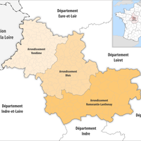
Loir-et-Cher, Administrative department in Centre-Val de Loire, France

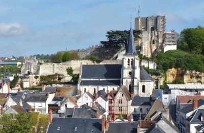
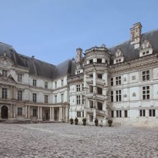
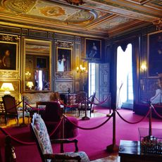
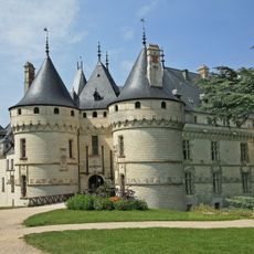
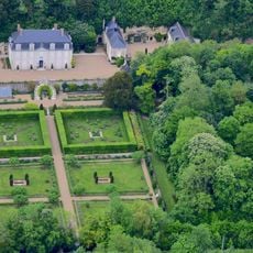
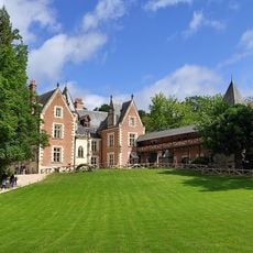
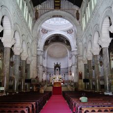
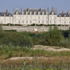
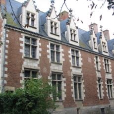
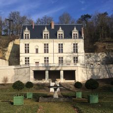
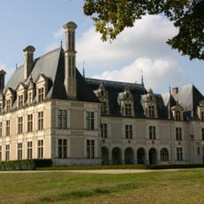
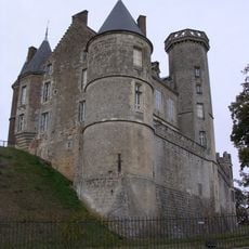
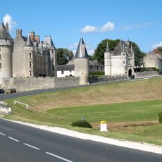
Loir-et-Cher is an administrative district in central France that extends between two river courses and whose capital is Blois. The territory includes gentle hills, extensive forests and agricultural lands dotted with small towns and several historic castles.

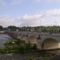
The territory emerged during the administrative reform after 1789, when former provinces were divided into new units. The boundaries followed the two rivers that gave the area its name and brought together territories that had previously belonged to different domains.

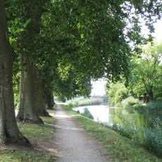
The landscape between both rivers is shaped by vineyards, forests and grain fields that have defined local life for centuries. Small markets in the towns offer regional products such as goat cheese, mushrooms and wines from the slopes, which visitors can discover while walking through the villages.

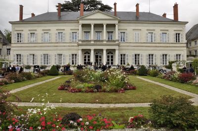
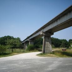
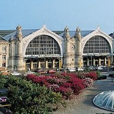
Travelers can reach the region via several roads and rail connections that run through the entire territory. The best time to visit is between spring and autumn, when the castle gardens are open and the weather makes driving tours through the countryside easier.

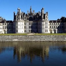
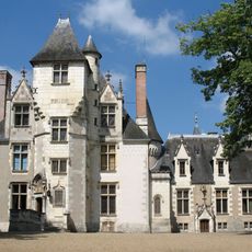
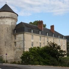
Several castles in the area served as models for illustrators working on a well-known animated film in the 1980s. The architecture with its towers and battlements helped bring the atmosphere of European fairy tales to the screen.

Location: Centre-Val de Loire

Inception: March 4, 1790

Capital city: Blois

Reference: 41

Shares border with: Sarthe, Indre-et-Loire, Eure-et-Loir, Cher, Loiret, Indre

Address: Loir-et-Cher, France

Website: https://departement41.fr

GPS coordinates: 47.26667,0.66667

Latest update: December 15, 2025 02:40

Photos
Reviews

Visited this place? Tap the stars to rate it and share your experience / photos with the community! Try now! You can cancel it anytime.

« Loir-et-Cher - Administrative department in Centre-Val de Loire, France » is provided by Around Us (aroundus.com). Images and texts are derived from Wikimedia project under a Creative Commons license. You are allowed to copy, distribute, and modify copies of this page, under the conditions set by the license, as long as this note is clearly visible.

Discover hidden gems everywhere you go!

From secret cafés to breathtaking viewpoints, skip the crowded tourist spots and find places that match your style. Our app makes it easy with voice search, smart filtering, route optimization, and insider tips from travelers worldwide. Download now for the complete mobile experience.

Around Us App Screenshot

A unique approach to discovering new places

Le Figaro

All the places worth exploring

France Info

A tailor-made excursion in just a few clicks

20 Minutes