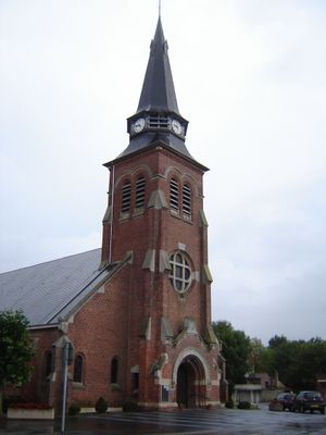
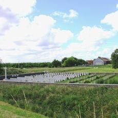
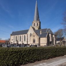
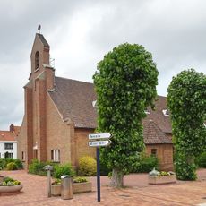
Les Moëres, former commune in Nord, France
Location: canton of Hondschoote
Location: Nord
Location: arrondissement of Dunkirk
Elevation above the sea: 2 m
Shares border with: Ghyvelde, Uxem, Warhem, Hondschoote
GPS coordinates: 51.01472,2.55056
Latest update: June 15, 2025 23:22
De Boomstammetjes
7.9 km
Plage de Zuydcoote
7.9 km
Dune fossile de Ghyvelde
4.7 km
Adinkerke Military Cemetery
7.2 km
Réserve naturelle nationale de la dune Marchand
7.3 km
Belgian Military Cemetery Adinkerke
7.6 km
Sint-Gustaafsmolen
5.5 km
Museum Cabour
6.3 km
Sint-Audomaruskerk
7.7 km
Sint-Karelsmolen
5.8 km
Noordmeulen
3.9 km
Église Saint-Nicolas de Zuydcoote
7 km
Onze-Lieve-Vrouw-Hemelvaartkerk
3.9 km
Le Camélus - Ferme Pédagogique
3.6 km
Cimetière militaire anglais d'Adinkerque
7.2 km
Pastorie
3.9 km
Plage de Bray-Dunes
7.8 km
Sint-Martinuskerk
6 km
Église Saint-Vaast de Hondschoote
4.5 km
Adinkerke Churchyard Extension
7.6 km
Hôtel de ville d'Hondschoote
4.5 km
Église Notre-Dame-des-Dunes de Bray-Dunes
6.6 km
Église Saint-Vincent de Ghyvelde
4.5 km
Eglise Notre-Dame-de-l'Assomption
202 m
Eglise
5.9 km
Eglise Saint-Amand à Uxem
4.8 km
Villa Saint-Florent ( Bray-Dunes)
7.6 km
Chapelle du Sacré-Coeur
7.3 kmReviews
Visited this place? Tap the stars to rate it and share your experience / photos with the community! Try now! You can cancel it anytime.
Discover hidden gems everywhere you go!
From secret cafés to breathtaking viewpoints, skip the crowded tourist spots and find places that match your style. Our app makes it easy with voice search, smart filtering, route optimization, and insider tips from travelers worldwide. Download now for the complete mobile experience.
A unique approach to discovering new places❞
— Le Figaro
All the places worth exploring❞
— France Info
A tailor-made excursion in just a few clicks❞
— 20 Minutes