Enable Location

We need your location to show you interesting places around you

Discover nearby places

Find interesting locations and hidden gems around you

Precise directions

Get accurate directions and distances to places

Your location is never shared with other users. It's only used when you tap the location button.

Dourdan

Log in to your account

Start exploring — it's free

Trusted by 63,034 travelers worldwide

Continue with Google
Continue with Apple
or

We will send you a code to connect

By continuing, you accept our Terms and Conditions and our Privacy Policy

Check your inbox

We've sent a pincode in your inbox. Please enter the code below.

Discussion Reviews 6 Photos
42.6k Popularity

Dourdan, Medieval commune in Essonne, France.

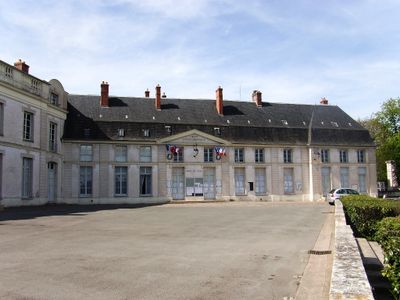
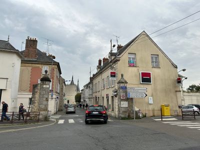
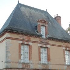
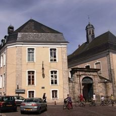
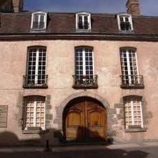
Dourdan is a commune in Essonne that lies along the Orge River and sits within a forested landscape. The town blends historic structures with residential areas and open spaces that shape daily life.

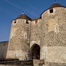
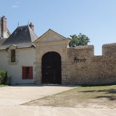
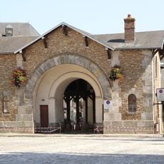
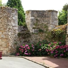
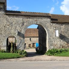
A fortress was built in the 13th century under King Philip II, establishing this location as a strategic point in the region. This structure shaped the town's development and importance for centuries afterward.

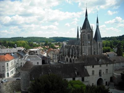
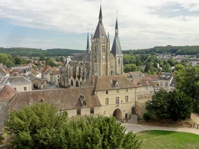
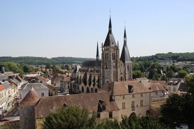
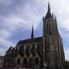
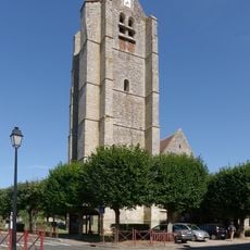
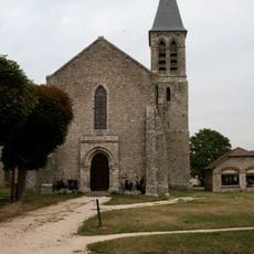
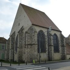
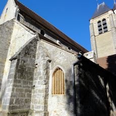
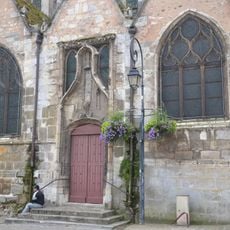
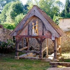
The Saint-Germain-d'Auxerre Church shapes the town center with its Romanesque design and visible traces of past repairs and changes. It shows how religious buildings have remained central to community life while adapting to different periods.

The town is walkable and has train connections to Paris and Versailles for visitors traveling from farther away. For walks through the surrounding woodland, sturdy shoes and enough time are useful to enjoy the area properly.

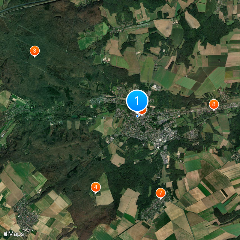
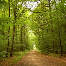
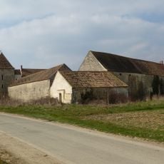
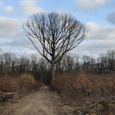
The woodland around the town served as a royal hunting ground since the Middle Ages and still shapes the landscape today. Wide forest paths and older structures recall this royal past, which helped define the character of the area.

The community of curious travelers

AroundUs brings together thousands of curated places, local tips, and hidden gems, enriched daily by 60,000 contributors worldwide.

Start exploring
Location
Elevation above the sea
139 m
Shares border with
Longvilliers, Les Granges-le-Roi, Saint-Arnoult-en-Yvelines, Sainte-Mesme, Corbreuse, Roinville, Saint-Cyr-sous-Dourdan
Phone
GPS coordinates
48.52889,2.01083
Latest update
December 14, 2025 21:20
Reviews
Share your experience

No review yet

Discussions
Start a discussion...

No discussion yet

« Dourdan - Medieval commune in Essonne, France » is provided by Around Us (aroundus.com). Images and texts are derived from Wikimedia project under a Creative Commons license. You are allowed to copy, distribute, and modify copies of this page, under the conditions set by the license, as long as this note is clearly visible.

Discover hidden gems everywhere you go!

From secret cafés to breathtaking viewpoints, skip the crowded tourist spots and find places that match your style. Our app makes it easy with voice search, smart filtering, route optimization, and insider tips from travelers worldwide. Download now for the complete mobile experience.

Around Us App Screenshot

A unique approach to discovering new places

Le Figaro

All the places worth exploring

France Info

A tailor-made excursion in just a few clicks

20 Minutes

Around Us
Travel Guide & Maps
Download

Send to your phone

QR Code
1

Open the camera app on your mobile.

2

Point at the QR code with your camera. A notification will appear.

3

Tap the notification to open the link.