Chest opened
+${chestReward.xp} XP
Explorer
NOUVEAU ×${chestReward.collectible.quantity}
tapez pour fermer
Chest locked

Open chests in the app

Around Us is built for your phone — chests unlock when you walk, explore and capture nearby places.

Enable Location

We need your location to show you interesting places around you

Discover nearby places

Find interesting locations and hidden gems around you

Precise directions

Get accurate directions and distances to places

Your location is never shared with other users. It's only used when you tap the location button.

Saint-Épain

Log in to your account

Start exploring — it's free

Trusted by 72,878 travelers worldwide

Continue with Google
Continue with Apple
or

We will send you a code to connect

By continuing, you accept our Terms and Conditions and our Privacy Policy

Check your inbox

We've sent a pincode in your inbox. Please enter the code below.

Discussion Reviews 1 Photos
4.2k Popularity

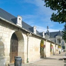
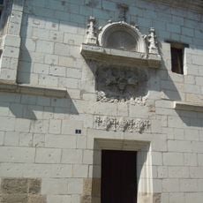
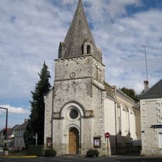
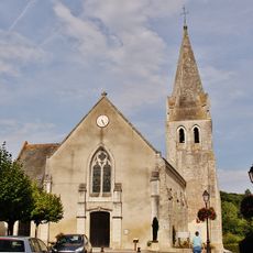
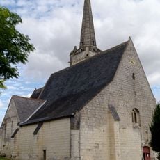
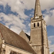
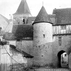
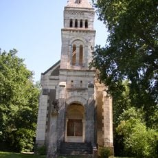
Saint-Épain, Rural commune in Indre-et-Loire department, France.

Saint-Épain covers approximately 162.65 square kilometers within the Indre-et-Loire department, positioned at an elevation of about 100 meters above sea level in central France.

The commune has experienced population fluctuations throughout centuries, with recorded figures showing a decrease from about 1,525 residents in 1968 to around 1,486 inhabitants in 2022.

Local cultural events often revolve around regional cuisine festivals and community traditions that foster social connections among residents and visitors in this rural setting.

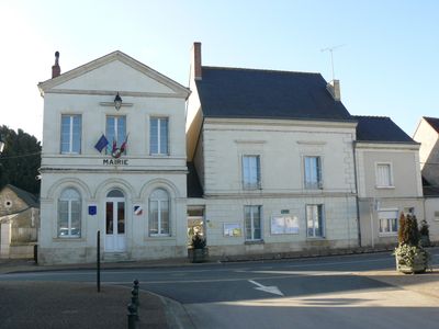
The town hall located at 27 Grande Rue operates Monday through Saturday with varying hours, closed Wednesday afternoons and Sundays for administrative services.

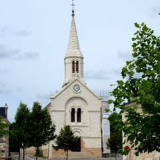
The main administrative building was photographed by Jean-Charles Guillou, showcasing traditional French municipal architecture typical of small communes in the Loire Valley region.

The community of curious travelers

AroundUs brings together thousands of curated places, local tips, and hidden gems, enriched daily by 60,000 contributors worldwide.

Start exploring
Location
Elevation above the sea
100 m
Shares border with
Neuil, Crissay-sur-Manse, Crouzilles, Noyant-de-Touraine, Pouzay, Sainte-Catherine-de-Fierbois, Sainte-Maure-de-Touraine, Thilouze, Trogues, Villeperdue
Address
37800 Saint-Épain, France
Phone
GPS coordinates
47.14528,0.53694
Latest update
September 15, 2025 08:43
Reviews
Share your experience

No review yet

Discussions
Start a discussion...

No discussion yet

« Saint-Épain - Rural commune in Indre-et-Loire department, France » is provided by Around Us (aroundus.com). Images and texts are derived from Wikimedia project under a Creative Commons license. You are allowed to copy, distribute, and modify copies of this page, under the conditions set by the license, as long as this note is clearly visible.

Discover hidden gems everywhere you go!

From secret cafés to breathtaking viewpoints, skip the crowded tourist spots and find places that match your style. Our app makes it easy with voice search, smart filtering, route optimization, and insider tips from travelers worldwide. Download now for the complete mobile experience.

Around Us App Screenshot

A unique approach to discovering new places

Le Figaro

All the places worth exploring

France Info

A tailor-made excursion in just a few clicks

20 Minutes

Around Us
Travel Guide & Maps
Download

Send to your phone

QR Code
1

Open the camera app on your mobile.

2

Point at the QR code with your camera. A notification will appear.

3

Tap the notification to open the link.