
Saint-Bois, former commune in Ain, France
Location: Ain
Location: arrondissement of Belley
Industry: administration publique générale
Shares border with: Arbignieu, Colomieu, Conzieu, Prémeyzel, Saint-Benoît
GPS coordinates: 45.69944,5.63528
Latest update: March 16, 2025 10:04
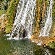
Glandieu Fall
4.1 km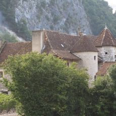
Château de Varepe
5 km
Grand Thur
3.6 km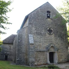
Saint Sebastien church of Conzieu
3.9 km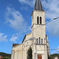
Église Saint-Étienne d'Arbignieu
3.4 km
Église Saint-Benoît de Saint-Benoît
3.7 km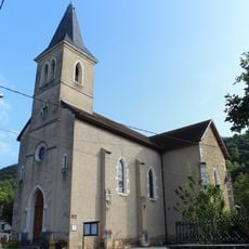
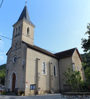
Église Saint-Baudille de Saint-Bois
463 m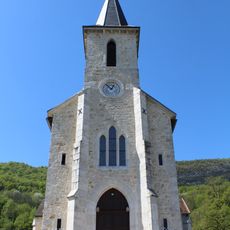
Église Saint-Martin de Peyrieu
3.9 km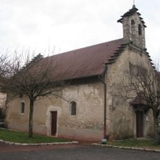
Église Saint-Pierre de Peyzieu
1.9 km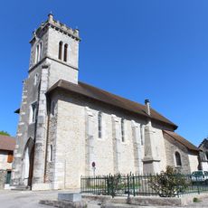
Église de l'Assomption de Prémeyzel
2 km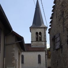
Église Saint-Apollinaire de Colomieu
3.9 km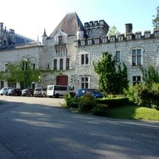
Château de Peyrieu
3.5 km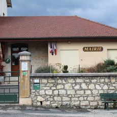
Mairie d'Arbignieu
3.5 km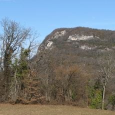
Adret du Grand Thur
3.3 km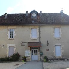
Mairie de Conzieu
3.8 km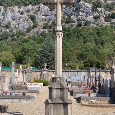
Cemetery cross of Saint-Benoît
3.4 km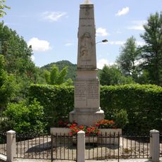
War memorial of Colomieu
3.9 km
Town hall of Colomieu
3.9 km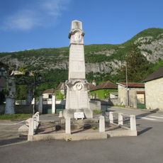
War memorial of Saint-Benoît
3.7 km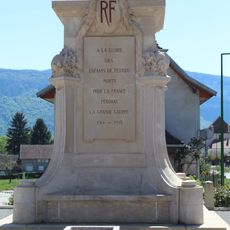
War memorial of Peyrieu
4 km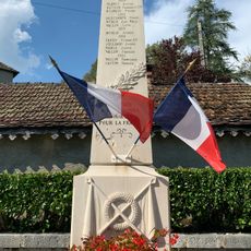
War memorial of Conzieu
3.7 km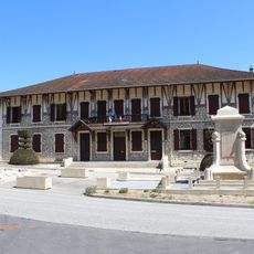
Town hall of Peyrieu
4 km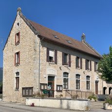
Town hall of Saint-Benoît
3.7 km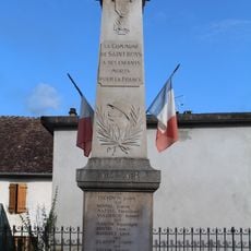
War memorial of Saint-Bois
435 m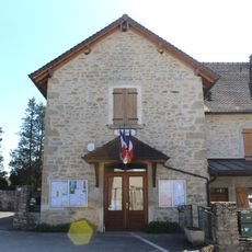
Town hall of Prémeyzel
2.1 km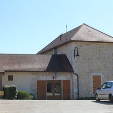
Town hall of Saint-Bois
22 m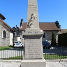
War memorial of Prémeyzel
2 km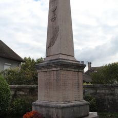
War memorial of Arbignieu
3.4 kmVisited this place? Tap the stars to rate it and share your experience / photos with the community! Try now! You can cancel it anytime.
Discover hidden gems everywhere you go!
From secret cafés to breathtaking viewpoints, skip the crowded tourist spots and find places that match your style. Our app makes it easy with voice search, smart filtering, route optimization, and insider tips from travelers worldwide. Download now for the complete mobile experience.

A unique approach to discovering new places❞
— Le Figaro
All the places worth exploring❞
— France Info
A tailor-made excursion in just a few clicks❞
— 20 Minutes