
Chastel-sur-Murat, former commune in Cantal, France
Location: Cantal
Location: arrondissement of Saint-Flour
Shares border with: Chavagnac, Dienne, Laveissière, Murat, Virargues
GPS coordinates: 45.12417,2.85722
Latest update: July 1, 2025 04:06
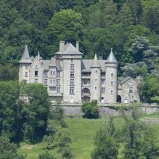
Château d'Anterroches
2 km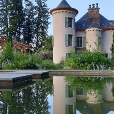
Château de la Cheyrelle
5.8 km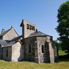
Église Saint-Jean-Baptiste
4.3 km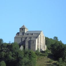
Église Saint-Pierre de Bredons
2.6 km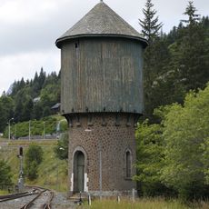
Château d'eau du Lioran
9.1 km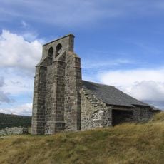
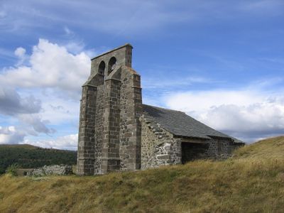
Chapelle Saint-Antoine
173 m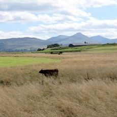
Réserve naturelle régionale des tourbières du Jolan et de la Gazelle
8.7 km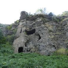
Roche Percée
4 km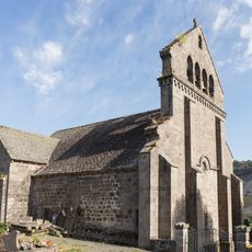
Église Saint-Cirgues de Dienne
6.8 km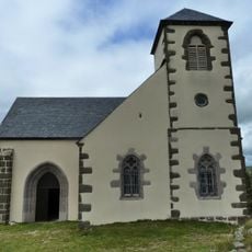
Chapelle Notre-Dame de Valentine
9.3 km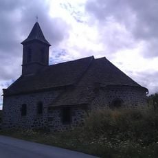
Sainte-Reine Church
2.2 km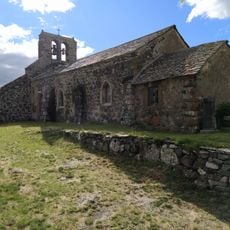
Église Saint-Roch de Fortuniès
7.1 km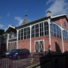
Halle de Murat
1.6 km
Église Saint-Barthélemy de Chalinargues
6.8 km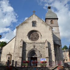
Collégiale Notre-Dame de Murat
1.6 km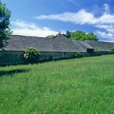
Ferme de la Grange
2.1 km
Maison de la Pinatelle
7 km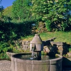
Fontaine de Bredons
2.8 km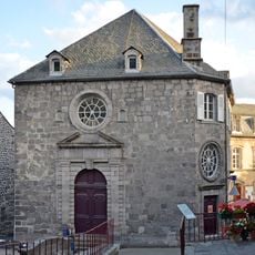
Ancien tribunal
1.8 km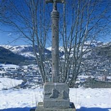
Calvaire de Bredons
2.7 km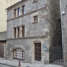
Maison consulaire
1.9 km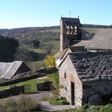
Église Sainte-Madeleine de Mouret
8.6 km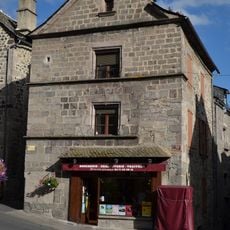
Maison du Baillage
1.7 km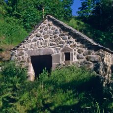
Moulin de Drils
7.6 km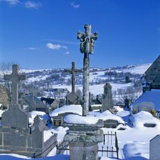
Croix de cimetière
6.8 km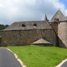
Chateau du Jarrousset
4.4 km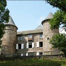
Château de Chavagnac
3.9 km
Maison Hurgon
1.7 kmReviews
Visited this place? Tap the stars to rate it and share your experience / photos with the community! Try now! You can cancel it anytime.
Discover hidden gems everywhere you go!
From secret cafés to breathtaking viewpoints, skip the crowded tourist spots and find places that match your style. Our app makes it easy with voice search, smart filtering, route optimization, and insider tips from travelers worldwide. Download now for the complete mobile experience.

A unique approach to discovering new places❞
— Le Figaro
All the places worth exploring❞
— France Info
A tailor-made excursion in just a few clicks❞
— 20 Minutes