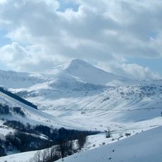
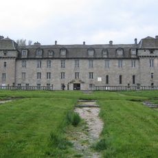
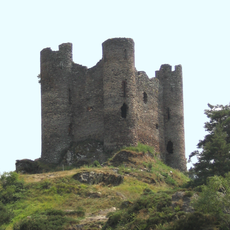
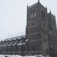
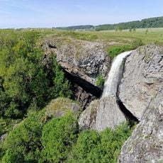
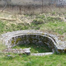
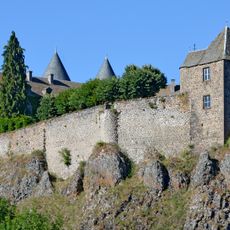
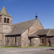
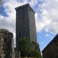
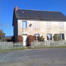
Arrondissement of Saint-Flour, arrondissement of France
Location: Cantal
Capital city: Saint-Flour
GPS coordinates: 45.03389,3.08972
Latest update: June 13, 2025 13:20
Garabit Viaduct
9.5 km
Cantal mountains
29.9 km
Puy Mary
33.6 km
Plomb du Cantal
26 km
GR 4
34.5 km
Château de la Baume
43.6 km
Château d'Alleuze
8.7 km
St. Peter and St. Florus Cathedral
426 m
Parc animalier d'Auvergne
40.1 km
Puy Griou
30.6 km
Château d'Anterroches
20.3 km
Église Saint-Sébastien de Lorcières
16.9 km
Cascade du Déroc
43.2 km
Anderitum
42.7 km
Garabit highway bridge
10.5 km
Château de Cropières
36 km
Château du Sailhant
5.4 km
Puy de Peyre-Arse
31 km
Église Saint-Léger de Cheylade
35.2 km
Château d'Apcher
30.4 km
Signal du Luguet
34.4 km
Téton de Vénus
29.4 km
Sagnes de la Godivelle National Nature Reserve
41.1 km
Chapelle Sainte-Madeleine de Chalet
27.7 km
Château d'Apchon
39.3 km
Chassagny Viaduct
43.2 km
Château de la Cheyrelle
26.6 km
Écomusée de la Margeride
11.3 kmVisited this place? Tap the stars to rate it and share your experience / photos with the community! Try now! You can cancel it anytime.
Discover hidden gems everywhere you go!
From secret cafés to breathtaking viewpoints, skip the crowded tourist spots and find places that match your style. Our app makes it easy with voice search, smart filtering, route optimization, and insider tips from travelers worldwide. Download now for the complete mobile experience.
A unique approach to discovering new places❞
— Le Figaro
All the places worth exploring❞
— France Info
A tailor-made excursion in just a few clicks❞
— 20 Minutes