Saint-Flour

Log in to your account

AroundUs is a community-driven map of interesting places, built by curious explorers like you. It grows with every review, story, and photo you share.
Connect to save your favorite spots, contribute locations, and create personalized routes.
Continue with Google
Continue with Apple
Continue with X
Continue with Facebook
Continue with email
By continuing, you accept our Terms and Conditions and our Privacy Policy
Create an account
Add to collection
Map
Suggest a change
Share

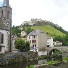
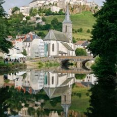
Saint-Flour, Medieval hilltop town in Cantal, France.

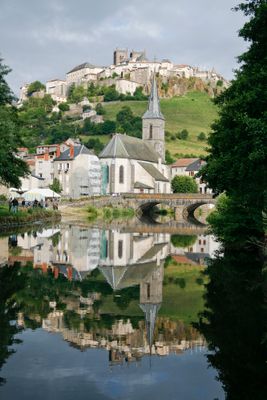
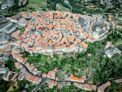
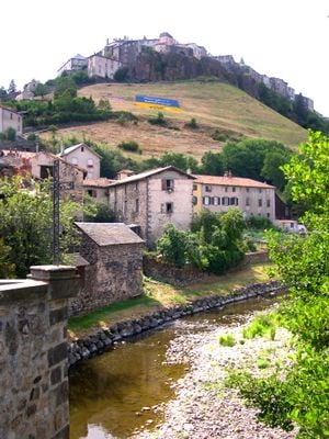
Saint-Flour is a commune in Cantal built on a high plateau of volcanic origin, extending over two levels. The upper town sits atop the cliff and offers a sweeping view over the surrounding valleys and hills of Auvergne.

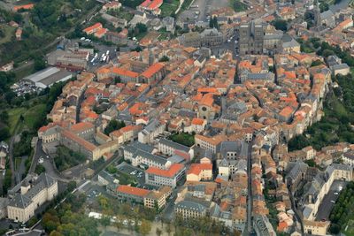
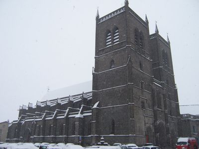
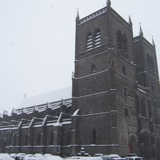
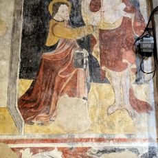
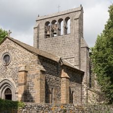
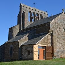
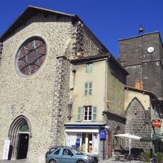
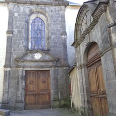
The settlement grew during the Middle Ages around a Benedictine priory, which was elevated to a bishop's residence from 1317 onward. This elevation to an episcopal seat strengthened its political and religious importance in Auvergne for several centuries.

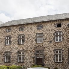
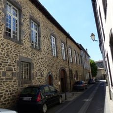
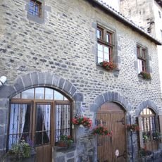
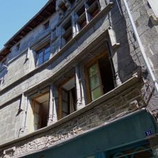
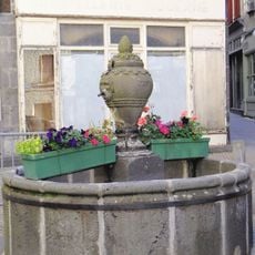
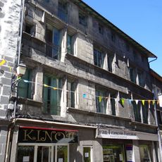
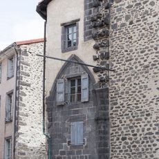
The upper town houses centuries-old residential buildings made from dark volcanic stone, their facades lining narrow lanes that show the local building style of the region. Several squares serve as meeting points for locals, where markets and events unfold that have shaped community life for generations.

The old town is reachable on foot, though steep climbs mark the access to the upper town and can be demanding for those with mobility issues. A walk through the lanes takes about an hour and pairs well with a visit to the cathedral.

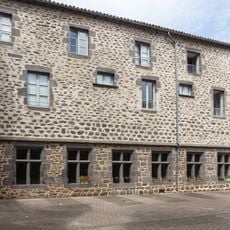
The lower town along the riverbank developed later as a residential and trade zone, giving both districts different building structures and rhythms. This spatial division still shows in daily life today, as residents move between the levels.

Location: arrondissement of Saint-Flour

Location: Cantal

Elevation above the sea: 870 m

Shares border with: Alleuze, Andelat, Coren, Roffiac, Saint-Georges, Villedieu

Phone: +33471606120

Email: mairie@saint-flour.fr

Website: http://pays-saint-flour.fr

GPS coordinates: 45.03361,3.09278

Latest update: December 14, 2025 17:21

Photos
Reviews

Visited this place? Tap the stars to rate it and share your experience / photos with the community! Try now! You can cancel it anytime.

« Saint-Flour - Medieval hilltop town in Cantal, France » is provided by Around Us (aroundus.com). Images and texts are derived from Wikimedia project under a Creative Commons license. You are allowed to copy, distribute, and modify copies of this page, under the conditions set by the license, as long as this note is clearly visible.

Discover hidden gems everywhere you go!

From secret cafés to breathtaking viewpoints, skip the crowded tourist spots and find places that match your style. Our app makes it easy with voice search, smart filtering, route optimization, and insider tips from travelers worldwide. Download now for the complete mobile experience.

Around Us App Screenshot

A unique approach to discovering new places

Le Figaro

All the places worth exploring

France Info

A tailor-made excursion in just a few clicks

20 Minutes