Saint-Brevin-les-Pins, Coastal commune in Loire-Atlantique, France
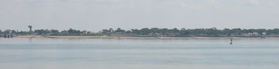
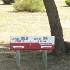
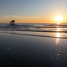
Saint-Brevin-les-Pins is a coastal commune in Loire-Atlantique with roughly 10 kilometers of sandy beaches bordered by dunes and pine forests facing the Loire estuary opposite Saint-Nazaire. The shoreline features gentle coves and wide flat stretches, while inland you find tree-lined paths, residential areas, and green spaces woven throughout the municipality.
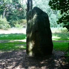
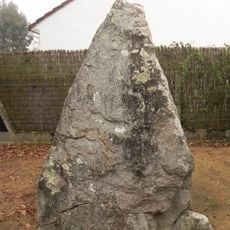
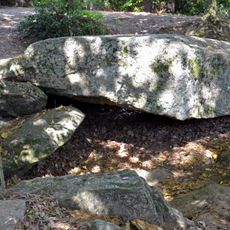
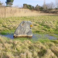
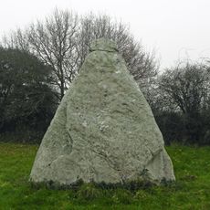
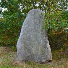
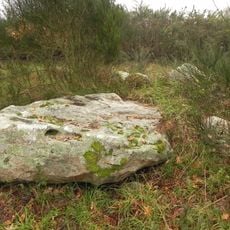
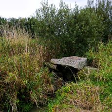
The area contains numerous prehistoric megaliths dating back thousands of years that still mark the landscape today. During World War II, fortifications were constructed in the region, leaving behind bunkers and other structures that remain visible and serve as reminders of that historical period.
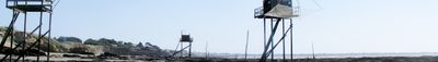
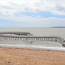
The name comes from the pine trees that once dominated the landscape, and you still notice them during walks through the dunes and forest paths near the shore. Local life here revolves around the rhythm of tides and seasons, with fishing traditions and beach customs that shape how people spend their days.
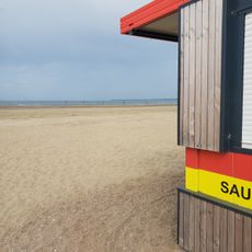
The municipality has supervised beaches during summer months with lifeguards present, and walking paths connect different sections of the shoreline for easy exploration. Visitors should know that tidal changes create different conditions throughout the day, so keeping an eye on tide times helps you get the most from a beach visit.
A suspension bridge about 4 kilometers long connects this place directly to Saint-Nazaire across the broad Loire estuary. The crossing offers views of the water and surrounding land that many visitors find memorable, and the bridge itself becomes a focal point when approaching the town from either side.
The community of curious travelers
AroundUs brings together thousands of curated places, local tips, and hidden gems, enriched daily by 60,000 contributors worldwide.