GR 8, hiking trail in France
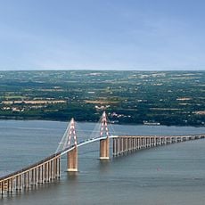
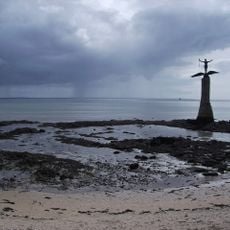
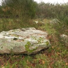
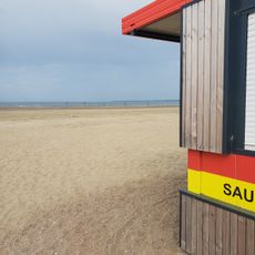
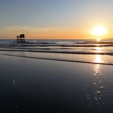
The GR 8 is a walking trail in France that runs about 370 kilometers from Saint-Brevin-les-Pins in the north to Sare in the south. The route passes sandy beaches, rocky cliffs, quiet fishing ports, and is marked with colored signs for easy navigation.
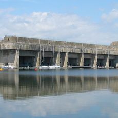
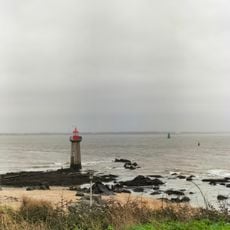
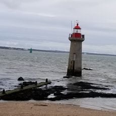
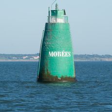
The GR 8 was planned in 2013 and connects the Loire-Atlantique with the Pyrénées-Atlantiques through several coastal regions. The route shows the region's maritime history through old lighthouses standing at beach edges and small fishing communities that have served sailors for centuries.
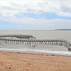
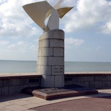
The GR 8 connects different coastal communities where daily life centers on the sea and fishing traditions. Along the route, you notice fishing boats in ports, local markets selling fresh seafood, and people using the beaches as part of their regular day.
The trail is well marked in most sections, but some areas are still under development and blazes may be missing. It is advisable to carry maps or GPS and check for current updates before traveling to avoid getting lost.
A distinctive feature is the ferry crossing over the Gironde estuary, which breaks up the walk with a boat ride and local color. This short water crossing divides the trail into two different landscape sections: coastal beaches to the north and forested areas to the south.
The community of curious travelers
AroundUs brings together thousands of curated places, local tips, and hidden gems, enriched daily by 60,000 contributors worldwide.