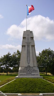
Saint-Nazaire pocket, World War II fortress in Saint-Nazaire, France
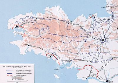
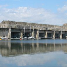
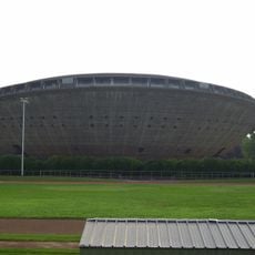
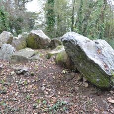
The Saint-Nazaire Pocket was a fortified coastal zone extending across multiple municipalities in Loire-Atlantique, equipped with bunker complexes, fortifications, and gun positions. The area served to defend Atlantic access and shapes the landscape today with its preserved structures.
This area was designated a fortress in 1944 to secure Atlantic access, and German troops held it under control until 1945. The end came in May when Allied forces liberated the region.
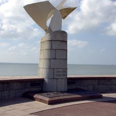
The area became a place where soldiers and civilians lived side by side during the conflict, leaving marks on local memory that persist today. Visitors can trace how daily life unfolded under military control through museums and preserved bunker structures.
Visitors should know the site is spread across several locations and exploring it requires visiting multiple places. The main blockhouse is a central stop with exhibits, while other fortifications can be explored throughout the landscape.
The site became an isolated territory during the war where roughly 130,000 civilians had to coexist with the defenders. This unusual situation is a rare example of the complexity of daily life in occupied war zones.
The community of curious travelers
AroundUs brings together thousands of curated places, local tips, and hidden gems, enriched daily by 60,000 contributors worldwide.