Moûtiers

Log in to your account

AroundUs is a community-driven map of interesting places, built by curious explorers like you. It grows with every review, story, and photo you share.
Connect to save your favorite spots, contribute locations, and create personalized routes.
By continuing, you accept our Terms and Conditions and our Privacy Policy
Add to collection
Map
Suggest a change
Share

Moûtiers, Administrative center in Tarentaise Valley, France

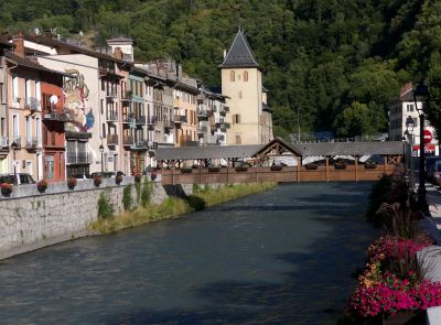
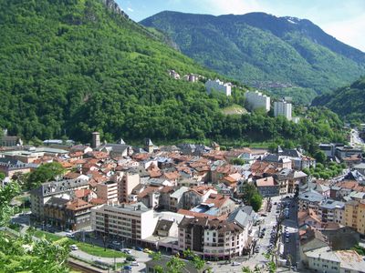
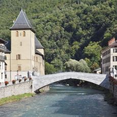
Moûtiers is a town in the Tarentaise Valley situated where the Isère River flows through the Alpine landscape at about 483 meters elevation. It serves as the administrative hub of the valley and combines old town structures with its role as a local service center.

The settlement began as Darantasia, the ancient capital of the Celtic Keutrones tribe, and appeared on Roman road maps of the region. A temporary name change to Mont-Salins occurred during the French Revolution before the town reverted to its former name in 1796.

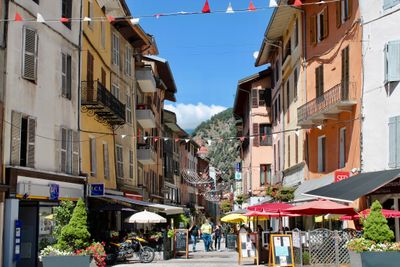
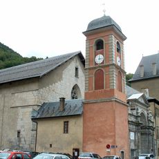
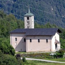
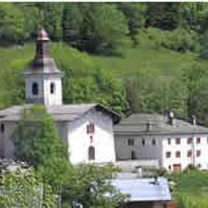
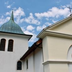
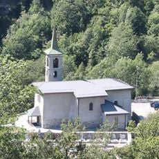
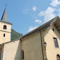
The Saint-Pierre Cathedral shapes the center of town and shows how religious buildings have defined community life here. Around it lie narrow streets and squares where you can see how daily routines and local traditions connect to the Alpine setting.

Most services and shops are within reach of the central area, with parking available around the main squares. As a local transport hub, the town is walkable and works well as a base for exploring the valley or venturing into the surrounding mountains.

The town was once called Darantasia and was so important in ancient times that it appeared in Roman travel guides and trade maps. This early prominence shows that the valley location has drawn people and connected commerce for over two thousand years.

Location: Savoie

Location: arrondissement of Albertville

Elevation above the sea: 595 m

Shares border with: Feissons-sur-Salins, Hautecour, Saint-Marcel, Salins-Fontaine, Grand-Aigueblanche

Address: 73600 Moûtiers, France

Phone: +33479240666

Email: info@moutiers.org

Website: http://moutiers.org

GPS coordinates: 45.48500,6.53389

Latest update: December 6, 2025 22:10

Photos
Reviews

Visited this place? Tap the stars to rate it and share your experience / photos with the community! Try now! You can cancel it anytime.

« Moûtiers - Administrative center in Tarentaise Valley, France » is provided by Around Us (aroundus.com). Images and texts are derived from Wikimedia project under a Creative Commons license. You are allowed to copy, distribute, and modify copies of this page, under the conditions set by the license, as long as this note is clearly visible.

Discover hidden gems everywhere you go!

From secret cafés to breathtaking viewpoints, skip the crowded tourist spots and find places that match your style. Our app makes it easy with voice search, smart filtering, route optimization, and insider tips from travelers worldwide. Download now for the complete mobile experience.

Around Us App Screenshot

A unique approach to discovering new places

Le Figaro

All the places worth exploring

France Info

A tailor-made excursion in just a few clicks

20 Minutes