Enable Location

We need your location to show you interesting places around you

Discover nearby places

Find interesting locations and hidden gems around you

Precise directions

Get accurate directions and distances to places

Your location is never shared with other users. It's only used when you tap the location button.

Saint-Cézaire-sur-Siagne

Log in to your account

Start exploring — it's free

Trusted by 61,571 travelers worldwide

Continue with Google
Continue with Apple
or

We will send you a code to connect

By continuing, you accept our Terms and Conditions and our Privacy Policy

Check your inbox

We've sent a pincode in your inbox. Please enter the code below.

Saint-Cézaire-sur-Siagne

Saint-Cézaire-sur-Siagne, Medieval commune in Alpes-Maritimes, France.

Description

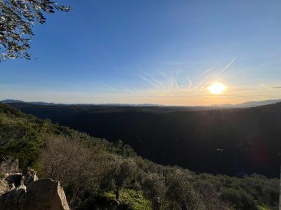
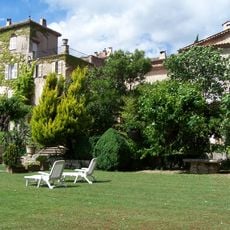
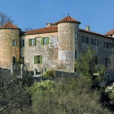
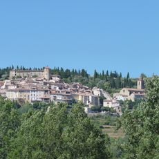
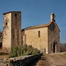
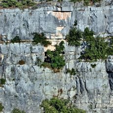
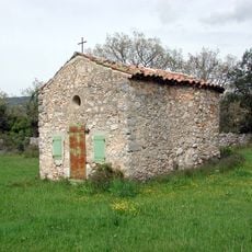
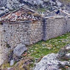
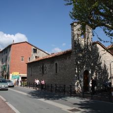
Saint-Cézaire-sur-Siagne sits 475 meters high on limestone cliffs above the Siagne River with views across forested valleys and distant mountains. The settlement features a church center, medieval houses, and a castle converted to a town hall with preserved fortification walls.

History

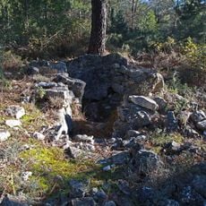
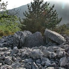
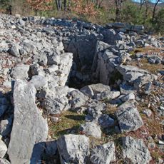
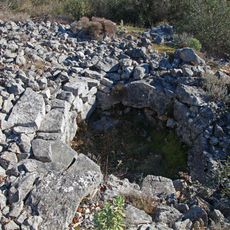
The settlement dates to Neolithic times and later became a monastic center under Lérins Abbey monks who developed agriculture from the 9th century onward. These early foundations shaped the place's appearance and structure that remains visible today.

Culture

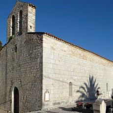
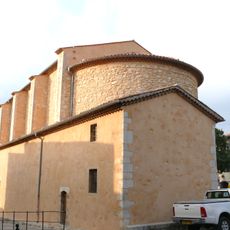
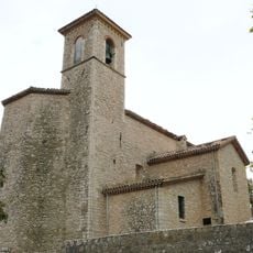
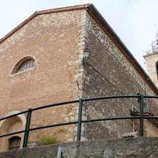
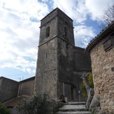
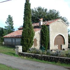
The 1720 church defines the town center with its classical style, while medieval houses surround it through narrow lanes with local character. Neighbors gather regularly at the weekly market to exchange vegetables and handmade goods.

Practical

The weekly Saturday market brings local producers and artisans near the main square where visitors find cafes, shops, and essential services. The ground-level paths are easy to walk, though the narrow lanes require some attention when navigating.

Did you know?

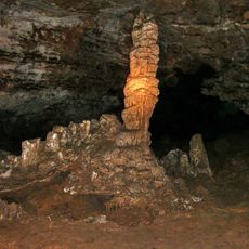
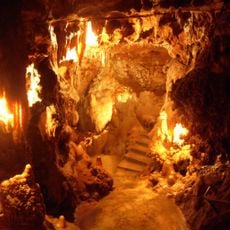
Limestone caves beneath the village were discovered in 1890 by farmer Léon Dozol and contain formations such as the Salle des Draperies. These underground spaces with their natural stone shapes are open to visitors and show a completely different side of the place.

Location
Industry
administration publique générale
Shares border with
Escragnolles, Saint-Vallier-de-Thiey, Spéracèdes, Le Tignet, Callian, Mons, Montauroux
Address
06530 Saint-Cézaire-sur-Siagne, France
Phone
GPS coordinates
43.64889,6.79278
Latest update
December 8, 2025 13:42

AroundUs brings together thousands of curated places, local tips, and hidden gems, enriched daily by 60,000 contributors worldwide. Discover all places nearby (canton of Saint-Vallier-de-Thiey).

« Saint-Cézaire-sur-Siagne - Medieval commune in Alpes-Maritimes, France » is provided by Around Us (aroundus.com). Images and texts are derived from Wikimedia project under a Creative Commons license. You are allowed to copy, distribute, and modify copies of this page, under the conditions set by the license, as long as this note is clearly visible.

Discover hidden gems everywhere you go!

From secret cafés to breathtaking viewpoints, skip the crowded tourist spots and find places that match your style. Our app makes it easy with voice search, smart filtering, route optimization, and insider tips from travelers worldwide. Download now for the complete mobile experience.

Around Us App Screenshot

A unique approach to discovering new places

Le Figaro

All the places worth exploring

France Info

A tailor-made excursion in just a few clicks

20 Minutes

Around Us
Travel Guide & Maps
Download

Send to your phone

QR Code
1

Open the camera app on your mobile.

2

Point at the QR code with your camera. A notification will appear.

3

Tap the notification to open the link.