
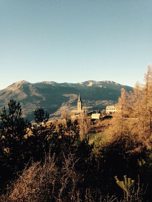
Saint-Sauveur, commune in Hautes-Alpes, France
Location: Hautes-Alpes
Location: arrondissement of Gap
Elevation above the sea: 1,315 m
Shares border with: Baratier, Crévoux, Embrun, Les Orres, Saint-André-d'Embrun
Phone: +33492431839
Email: mairie@saintsauveur-hautes-alpes.fr
Website: https://saintsauveur-hautes-alpes.fr
GPS coordinates: 44.54083,6.52028
Latest update: May 30, 2025 23:07
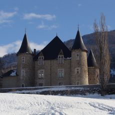
Château de Picomtal
3.9 km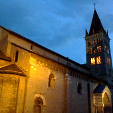
Embrun Cathedral
3.1 km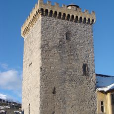
Tour Brune
3.1 km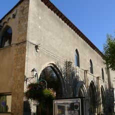
Couvent des Cordeliers d'Embrun
3.3 km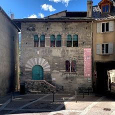
Maison des Chanonges
3.2 km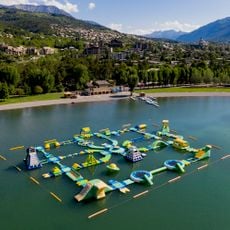
Aquaparc
3.6 km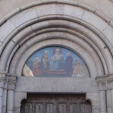
Église Saint-Laurent de Crots
4.1 km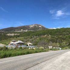
Le Méale
3.8 km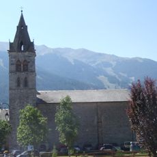
Église Sainte-Marie-Madeleine des Orres
3.7 km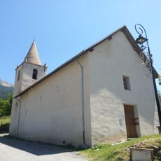
Notre-Dame-de-la-Présentation du Mélezet
4.8 km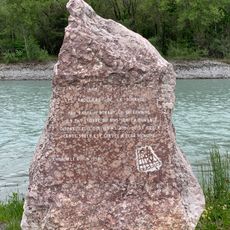
Stèle aux radeliers
3.5 km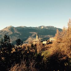
Église Saint-Sauveur de Saint-Sauveur
49 m
Monument à Clovis Hugues
3.1 km
Église Saint-Marcellin de Crévoux
7 km
Église Saint-Chaffrey de Baratier
2 km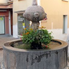
Fontaine, rue de la Liberté (Embrun)
3.3 km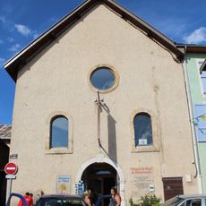
Ancienne église Saint-Donat d'Embrun
3.3 km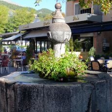
Fontaine, place Saint-Marcellin
3.3 km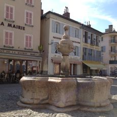
Fontaine, place Eugène-Barthelon
3.2 km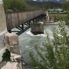
Passerelle sur la Durance d'Embrun
3 km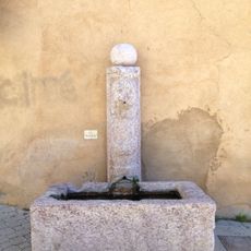
Fontaine, rue Pierre-et-Marie-Curie
3.2 km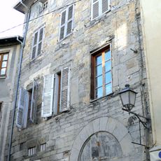
Hôtel des gouverneurs (Embrun)
3.2 km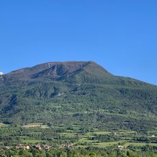
Crête du Lauzet
6.1 km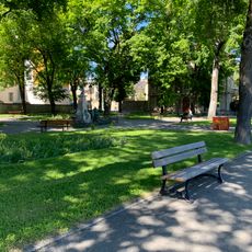
Jardin de l'Archevéché
3.1 km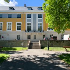
Ancien archevéché
3.1 km
Jardin de Zell
3.4 km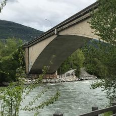
Pont de la Clapière
3 km
Immeuble, 39 rue Clovis-Hugues, Embrun
3.3 kmVisited this place? Tap the stars to rate it and share your experience / photos with the community! Try now! You can cancel it anytime.
Discover hidden gems everywhere you go!
From secret cafés to breathtaking viewpoints, skip the crowded tourist spots and find places that match your style. Our app makes it easy with voice search, smart filtering, route optimization, and insider tips from travelers worldwide. Download now for the complete mobile experience.

A unique approach to discovering new places❞
— Le Figaro
All the places worth exploring❞
— France Info
A tailor-made excursion in just a few clicks❞
— 20 Minutes