
Furmeyer, commune in Hautes-Alpes, France
Location: Hautes-Alpes
Location: arrondissement of Gap
Industry: administration publique générale
Shares border with: Châteauneuf-d'Oze, Montmaur, Veynes
Phone: +33492581138
Email: mairie.furmeyer@wanadoo.fr
GPS coordinates: 44.53639,5.85361
Latest update: March 3, 2025 04:04

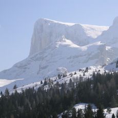
Pic de Bure
11.9 km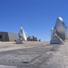
Plateau de Bure Interferometer
11.7 km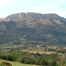
Céüse
9.1 km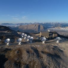
Northern Extended Millimeter Array
11.7 km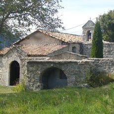
Monastère de la Dormition-de-la-Mère-de-Dieu à La Faurie
10 km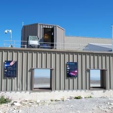
Altitude SEE Test European Platform
11.7 km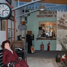
Écomusée du cheminot Veynois
2.4 kmMontagne d'Oule
3.2 kmTête des Pras Arnaud
10.3 kmTête de la Cluse
10.9 kmLe Pennas - Le Grand
6.1 km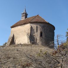
Chapelle Sainte-Philomène de Montmaur
3.1 km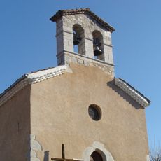
Église Saint-Barthélemy de Chabestan
8.6 km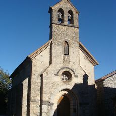
Église Notre-Dame-de-Val-Sainte de Barcillonnette
12.4 km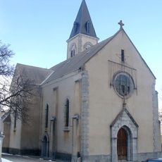
Église de Manteyer
8.8 km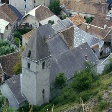
Église Saint-Pierre de La Roche-des-Arnauds
9 km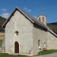
Église Saint-Grégoire-le-Thaumaturge de Furmeyer
1.4 km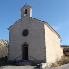
Église d'Oze
5.2 km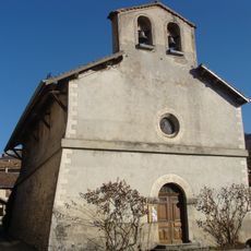
Église Saint-Vincent du Saix
7.2 km
Église de La Freissinouse
12.4 km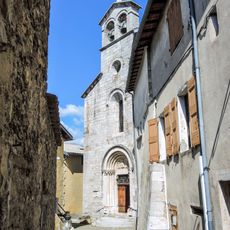
Église Saint-Géraud d'Aspres-sur-Buëch
8.4 km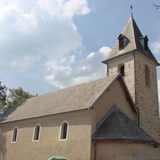
Église de Neffes
13.9 km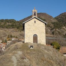
Église de Saint-Auban-d'Oze
4.6 km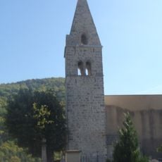
Église de Rabou
13.4 km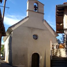
Église Saints-Pierre-et-Paul d'Esparron
10 km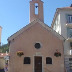
Chapelle Notre-Dame-de-Pitié-et-Saint-André de Veynes
3 km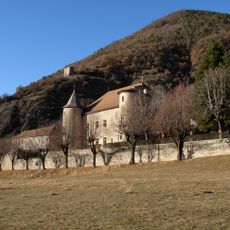
Château de Montmaur
4.1 km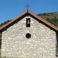
Chapelle d'Espréaux
6.9 kmVisited this place? Tap the stars to rate it and share your experience / photos with the community! Try now! You can cancel it anytime.
Discover hidden gems everywhere you go!
From secret cafés to breathtaking viewpoints, skip the crowded tourist spots and find places that match your style. Our app makes it easy with voice search, smart filtering, route optimization, and insider tips from travelers worldwide. Download now for the complete mobile experience.

A unique approach to discovering new places❞
— Le Figaro
All the places worth exploring❞
— France Info
A tailor-made excursion in just a few clicks❞
— 20 Minutes