Courgenard, Commune in the canton of Montmirail, Sarthe, France
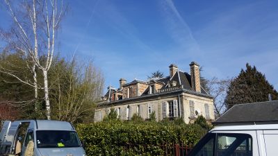
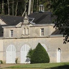
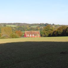
Courgenard is a commune in the canton of Montmirail, in the Sarthe department of the Pays de la Loire region, in northwestern France. The village sits at around 140 meters above sea level and is surrounded by fields, small woods, and scattered farm buildings.
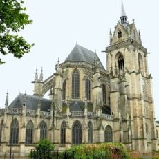
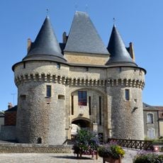
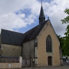
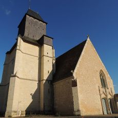
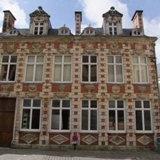
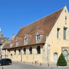
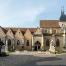
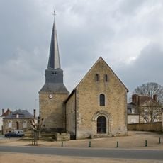
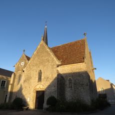
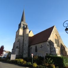
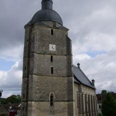
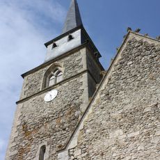
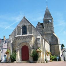
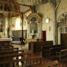
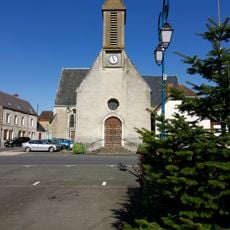
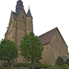
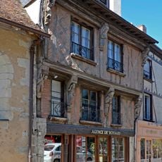
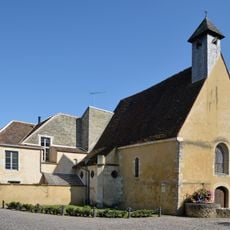
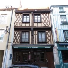
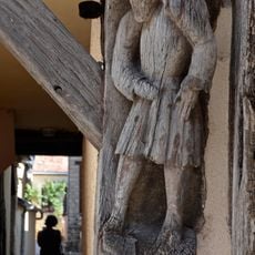
Courgenard developed over centuries as a farming village, changing slowly through time. The church of Saint-Martin-de-Tours, whose oldest parts date back to the 12th century, stands as the most visible trace of that long history.
The people of Courgenard are known as the Cosnelliens and Cosnelliennes, a name that reflects a strong local identity. Village life tends to gather around occasional markets where fresh vegetables, cheese, and bread are sold, and where neighbors stop to talk.
The village is best reached by car, and the roads through the surrounding fields and small forests are easy to drive. The town hall on Rue de la Vieille Cour is open on certain days of the week and can be a useful first stop for local information.
The Forêt de Montmirail and the Forêt de Vibraye, both close to the village, are places where locals go to pick mushrooms in season. This habit is deeply rooted in everyday life here but easy to miss as a visitor if you come at the wrong time of year.
The community of curious travelers
AroundUs brings together thousands of curated places, local tips, and hidden gems, enriched daily by 60,000 contributors worldwide.