Lauragais, Historical region in Occitania, France.
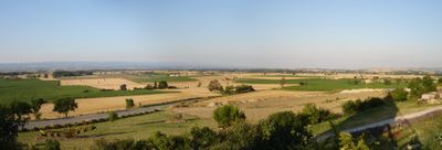
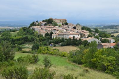
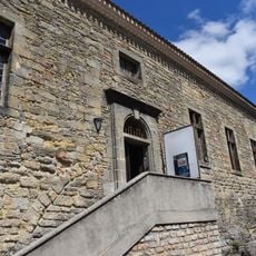
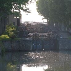
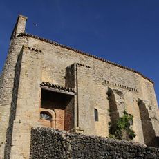
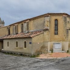
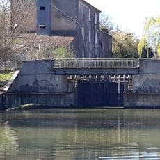
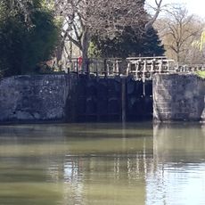
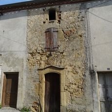
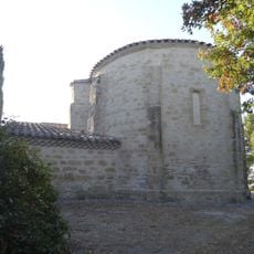
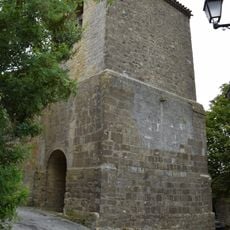
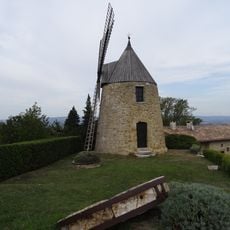
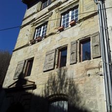
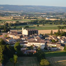
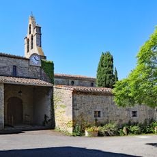
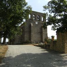
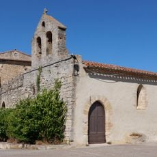
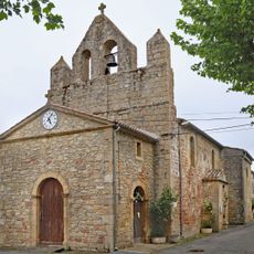
Lauragais is a region in Occitania that spans several departments and features rolling hills, agricultural plains, and the Canal du Midi. The territory includes forests, waterways, and towns like Castelnaudary and Villefranche connected by walking paths.
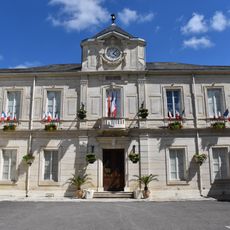
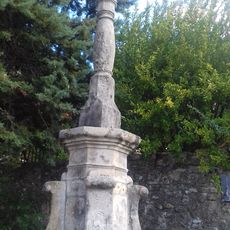
The territory became an important administrative area in the 11th century and was reorganized following the French Revolution in 1789. This shift shaped the current structure and borders of the different departments.
Local farmers grow dried beans known as lingots de Lauragais, a key ingredient in the traditional preparation of cassoulet. This crop remains central to how people here connect food to their land and heritage.
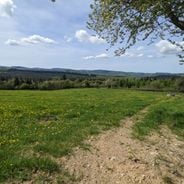
The region is best explored on foot or by bike, with many well-marked paths through forests and along the canal. Visitors should allow time to explore the scattered villages and smaller settlements connected by these routes.
The territory earned the name 'Pays de Cocagne' from extensive woad cultivation, a plant used to produce blue dye in medieval times. This historical trade brought prosperity to the region and left marks on its development for centuries.
Location: Aude
Part of: Lengadòc Naut
GPS coordinates: 43.25000,1.91667
Latest update: December 7, 2025 10:04
France has entire territories that remain outside the usual tourist circuits. This collection brings together natural regions where life follows its own rhythm, away from the bustle of mainstream destinations. Here you find forested mountains like Morvan and the Vosges, volcanic plateaus in Cantal...
Collégiale Saint-Michel de Castelnaudary
8.1 km
Château de Castelnaudary
8.1 km
Saint-Roch locks
7.8 km
Église Notre-Dame de Cazalrenoux
6.3 km
Église Saint-Jean-Baptiste de Mireval-Lauragais
3.5 km
Église Saint-Christol de Fonters-du-Razès
2.8 km
Écluse du Vivier
8.2 km
Église de Payra-sur-l'Hers
5.3 km
Couvent des Carmes de Castelnaudary
8.4 km
Château de Payra-sur-l'Hers
2.1 km
Écluse de Guillermin
8.4 km
Maison Nicol
7.8 km
Chapelle Saint-Martin-de-la-Salle de Besplas
7.8 km
Hôtel de ville de Castelnaudary
8.1 km
Église Saint-Laurent de Laurac
5.3 km
Moulin de Saint-Jean
3.2 km
Hôtel de Bataille
8.2 km
Hôtel de Gauzy
8.2 km
Maison Rigaud
8.2 km
Croix de Montauriol
7.3 km
Ferme pédagogique de la Matarelle
7.7 km
Église Saints-Pierre-et-Paul de Villeneuve-la-Comptal
4.1 km
Église Saint-Martin de Peyrefitte-sur-l'Hers
7.1 km
Daphne
8.3 km
Église Saint-Pierre de Mayreville
6.3 km
Église Sainte-Croix, anciennement Saint-Pierre de Cumiès
7.9 km
Église de l'Assomption de Ribouisse
7.6 km
Partie instrumentale de l'orgue à Castelnaudary
8.1 kmVisited this place? Tap the stars to rate it and share your experience / photos with the community! Try now! You can cancel it anytime.
Discover hidden gems everywhere you go!
From secret cafés to breathtaking viewpoints, skip the crowded tourist spots and find places that match your style. Our app makes it easy with voice search, smart filtering, route optimization, and insider tips from travelers worldwide. Download now for the complete mobile experience.
A unique approach to discovering new places❞
— Le Figaro
All the places worth exploring❞
— France Info
A tailor-made excursion in just a few clicks❞
— 20 Minutes