
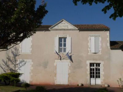
Genac, former commune in Charente, France
Location: canton of Rouillac
Location: Charente
Location: arrondissement of Cognac
Elevation above the sea: 77 m
Shares border with: Bignac, La Chapelle, Gourville, Marcillac-Lanville, Saint-Cybardeaux, Saint-Genis-d'Hiersac, Vouharte
GPS coordinates: 45.79889,0.02556
Latest update: June 12, 2025 18:16
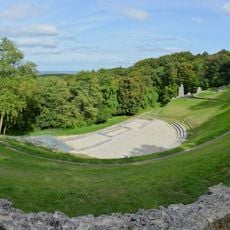
Gallo-Roman theatre at Les Bouchauds
3.1 km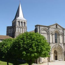
Abbaye de Saint-Amant-de-Boixe
8.4 km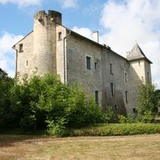
Château de Gourville
4.4 km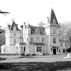
Château de Lignères
6.2 km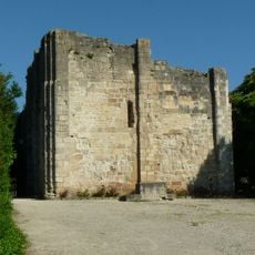
Château de Montignac
7.8 km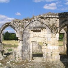
Église Notre-Dame de Lanville
6.4 km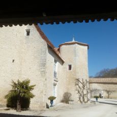
Logis de Lugérat
5.1 km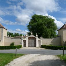
Logis du Portal
7.6 km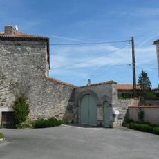
Commanderie du Fouilloux
4.3 km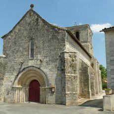
Église Saint-Gervais-Saint-Protais
7.6 km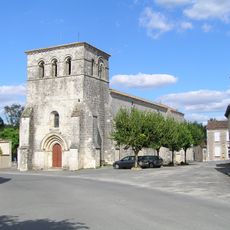
Église Saint-Pierre-des-Martyrs
90 m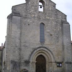
Église Notre-Dame de Coulonges
6.3 km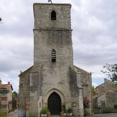
Église Notre-Dame de Xambes
7 km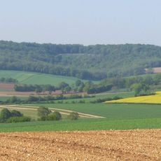
Coteaux calcaires entre les Bouchauds et Marsac
6.5 km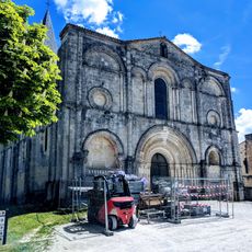
Espace d'Architecture Romane
8.4 km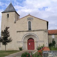
Église Saint-Étienne d'Ambérac
6.7 km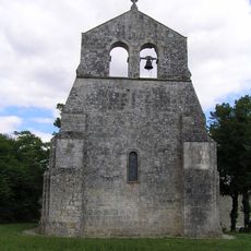
Église Saint-Clément
6.8 km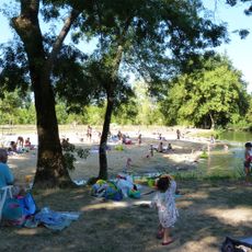
Baignade du Portal
7.7 km
Église Saint-Amant de Saint-Amant-de-Nouère
6.2 km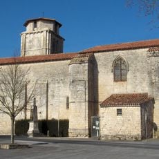
Église Notre-Dame de Vouharte
4.2 km
Église Saint-Pierre de Rouillac
7.3 km
Église Saint-Genis de Saint-Genis-d'Hiersac
5.6 km
Église Saint-Cybard de Saint-Cybardeaux
5.3 km
Abbatiale Saint-Amant de Saint-Amant-de-Boixe
8.4 km
Le Vingt-Sept
7.7 km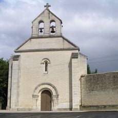
Église Saint-Vincent de La Chapelle
4.7 km
Temple de Saint-Genis-d'Hiersac
5.5 km
Église Saint-Martin de Bignac
2.8 kmReviews
Visited this place? Tap the stars to rate it and share your experience / photos with the community! Try now! You can cancel it anytime.
Discover hidden gems everywhere you go!
From secret cafés to breathtaking viewpoints, skip the crowded tourist spots and find places that match your style. Our app makes it easy with voice search, smart filtering, route optimization, and insider tips from travelers worldwide. Download now for the complete mobile experience.

A unique approach to discovering new places❞
— Le Figaro
All the places worth exploring❞
— France Info
A tailor-made excursion in just a few clicks❞
— 20 Minutes