Chest opened
+${chestReward.xp} XP
Explorer
NOUVEAU ×${chestReward.collectible.quantity}
tapez pour fermer
Chest locked

Open chests in the app

Around Us is built for your phone — chests unlock when you walk, explore and capture nearby places.

Enable Location

We need your location to show you interesting places around you

Discover nearby places

Find interesting locations and hidden gems around you

Precise directions

Get accurate directions and distances to places

Your location is never shared with other users. It's only used when you tap the location button.

Margeride

Log in to your account

Start exploring — it's free

Trusted by 72,882 travelers worldwide

Continue with Google
Continue with Apple
or

We will send you a code to connect

By continuing, you accept our Terms and Conditions and our Privacy Policy

Check your inbox

We've sent a pincode in your inbox. Please enter the code below.

Discussion Reviews 2 Photos
21.1k Popularity

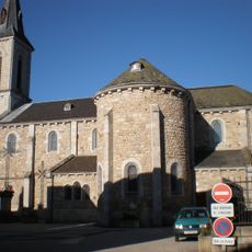
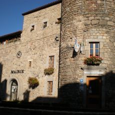
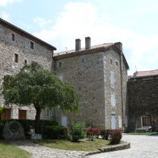
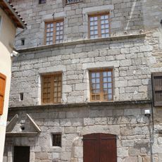
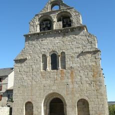
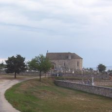
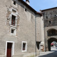
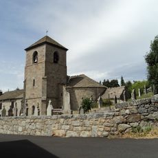
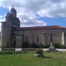
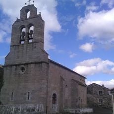
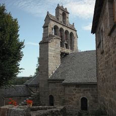
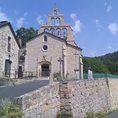
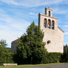
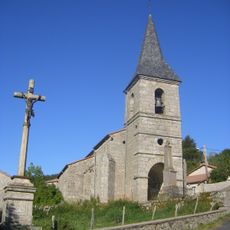
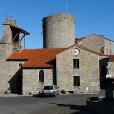
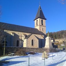
Margeride, Natural region and highland in Cantal, France

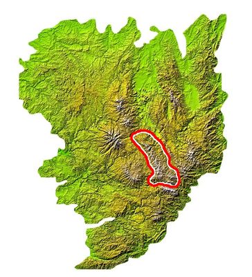
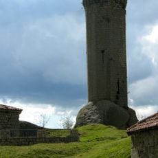
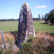
Margeride is a highland region spanning three departments: Cantal, Haute-Loire, and Lozère, with granite formations and a high point of 1,551 meters at Signal de Randon. The landscape features exposed ridges, rocky plateaus, and scattered forests across rolling terrain.

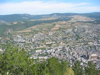
This mountainous area formed through geological processes and remained sparsely settled over centuries. During World War II, French Resistance fighters used these heights strategically to hinder German reinforcements following the D-Day landings.

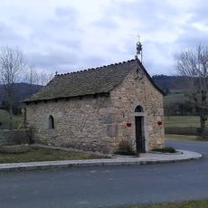
The Ecomusée de Margueride shows local life across three locations: a garden, a working farm, and a schoolhouse from the past. Visitors experience how people here lived and worked through the seasons.

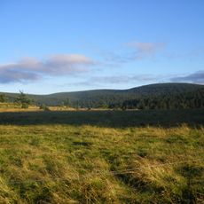
Multiple hiking trails crisscross the highlands, connecting to lakes, forests, and ridges while offering chances to spot wildlife in their natural habitat. The terrain demands sturdy footwear and layers, as weather can shift quickly at elevation.

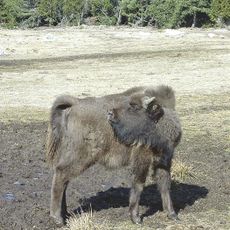
The Beast of Gévaudan, a mysterious creature that roamed these highlands in the 18th century, terrorized local communities and left a lasting mark on regional memory. Accounts of the attacks still fascinate visitors exploring this wild terrain.

The community of curious travelers

AroundUs brings together thousands of curated places, local tips, and hidden gems, enriched daily by 60,000 contributors worldwide.

Start exploring
Location
Location
Location
Elevation above the sea
1,551 m
Made from material
granite
Part of
Gévaudan
GPS coordinates
44.89000,3.44000
Latest update
March 5, 2026 20:37
Reviews
Share your experience

No review yet

Discussions
Start a discussion...

No discussion yet

« Margeride - Natural region and highland in Cantal, France » is provided by Around Us (aroundus.com). Images and texts are derived from Wikimedia project under a Creative Commons license. You are allowed to copy, distribute, and modify copies of this page, under the conditions set by the license, as long as this note is clearly visible.

Discover hidden gems everywhere you go!

From secret cafés to breathtaking viewpoints, skip the crowded tourist spots and find places that match your style. Our app makes it easy with voice search, smart filtering, route optimization, and insider tips from travelers worldwide. Download now for the complete mobile experience.

Around Us App Screenshot

A unique approach to discovering new places

Le Figaro

All the places worth exploring

France Info

A tailor-made excursion in just a few clicks

20 Minutes

Around Us
Travel Guide & Maps
Download

Send to your phone

QR Code
1

Open the camera app on your mobile.

2

Point at the QR code with your camera. A notification will appear.

3

Tap the notification to open the link.