Chest opened
+${chestReward.xp} XP
Explorer
NOUVEAU ×${chestReward.collectible.quantity}
tapez pour fermer
Chest locked

Open chests in the app

Around Us is built for your phone — chests unlock when you walk, explore and capture nearby places.

Enable Location

We need your location to show you interesting places around you

Discover nearby places

Find interesting locations and hidden gems around you

Precise directions

Get accurate directions and distances to places

Your location is never shared with other users. It's only used when you tap the location button.

GR 72

Log in to your account

Start exploring — it's free

Trusted by 72,881 travelers worldwide

Continue with Google
Continue with Apple
or

We will send you a code to connect

By continuing, you accept our Terms and Conditions and our Privacy Policy

Check your inbox

We've sent a pincode in your inbox. Please enter the code below.

GR 72
Discussion Reviews 1 Photos
1.2k Popularity

GR 72, französischer Fernwanderweg in den Cevennen

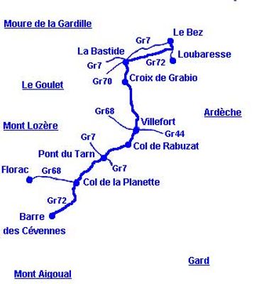
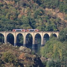
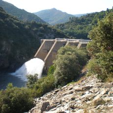
The GR 72 is a walking route in France that winds through the Ardèche and Lozère regions following high ground forming natural watershed divides. The path connects Barre-des-Cévennes to Col du Bez, passing through dense forests, rocky hills, and quiet lakes while climbing Mont Lozère as its highest point.

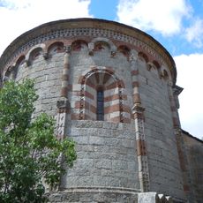
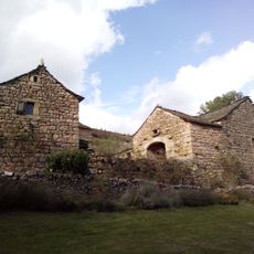
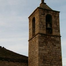
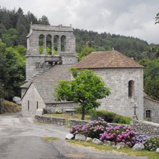
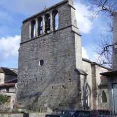
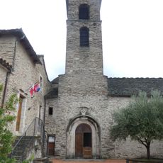
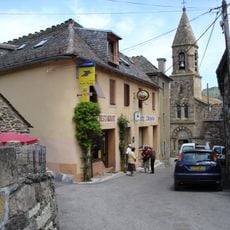
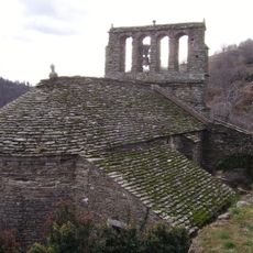
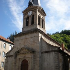
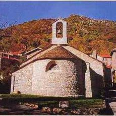
The route traces ancient trade paths that once carried salt and wine between regions, with origins stretching back hundreds of years. Pont-de-Montvert holds significance in this past and is also linked to the Camisards, a group who fought for religious freedom in the 17th century.

The GR 72 connects the Ardèche and Lozère regions while tracing historic trade routes whose stories remain visible in the villages along the way. At Pont-de-Montvert with its narrow streets and old stone houses, walkers can sense the long presence of people who have lived and worked in this landscape for centuries.

The path is marked with red and white or yellow and red stripes and easy to follow with a guide while watching for the markers along the way. Since it runs through rural areas with few amenities, pack water, snacks, and proper hiking shoes while planning food and rest stops in advance.

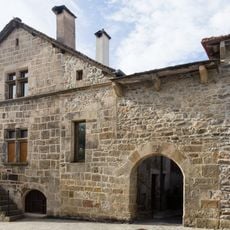
A guest house called L'Etoile in La Bastide-Puylaurent was built in the 1920s and still displays features from that period with a garden and riverside location. Many hikers use it as a calm place to rest and stay overnight after demanding mountain walks.

The community of curious travelers

AroundUs brings together thousands of curated places, local tips, and hidden gems, enriched daily by 60,000 contributors worldwide.

Start exploring
Location
GPS coordinates
44.41890,3.91890
Latest update
February 9, 2026 07:45
Reviews
Share your experience

No review yet

Discussions
Start a discussion...

No discussion yet

« GR 72 - französischer Fernwanderweg in den Cevennen » is provided by Around Us (aroundus.com). Images and texts are derived from Wikimedia project under a Creative Commons license. You are allowed to copy, distribute, and modify copies of this page, under the conditions set by the license, as long as this note is clearly visible.

Discover hidden gems everywhere you go!

From secret cafés to breathtaking viewpoints, skip the crowded tourist spots and find places that match your style. Our app makes it easy with voice search, smart filtering, route optimization, and insider tips from travelers worldwide. Download now for the complete mobile experience.

Around Us App Screenshot

A unique approach to discovering new places

Le Figaro

All the places worth exploring

France Info

A tailor-made excursion in just a few clicks

20 Minutes

Around Us
Travel Guide & Maps
Download

Send to your phone

QR Code
1

Open the camera app on your mobile.

2

Point at the QR code with your camera. A notification will appear.

3

Tap the notification to open the link.