Enable Location

We need your location to show you interesting places around you

Discover nearby places

Find interesting locations and hidden gems around you

Precise directions

Get accurate directions and distances to places

Your location is never shared with other users. It's only used when you tap the location button.

Lac de Villefort

Log in to your account

Start exploring — it's free

Trusted by 62,532 travelers worldwide

Continue with Google
Continue with Apple
or

We will send you a code to connect

By continuing, you accept our Terms and Conditions and our Privacy Policy

Check your inbox

We've sent a pincode in your inbox. Please enter the code below.

Lac de Villefort

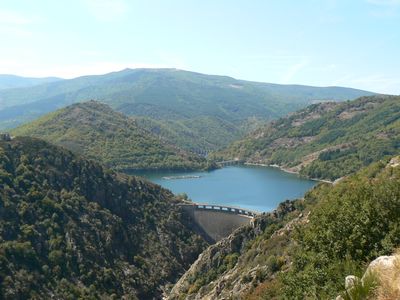
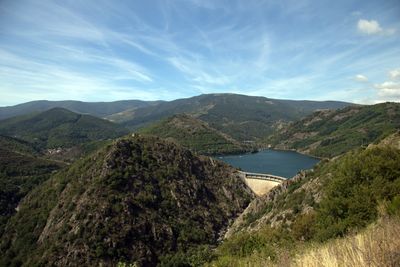
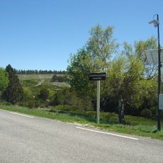
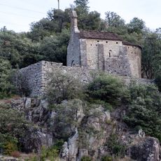
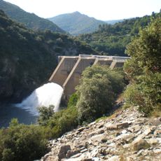
Lac de Villefort, reservoir in France

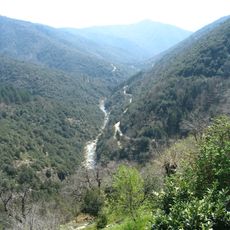
Lac de Villefort is an artificial lake in the Lozere department spanning about 127 hectares, built in the Cevennes valley to store water and generate hydroelectric power. The lake is surrounded by green hills and rocky cliffs, with a sandy beach for swimming and designated areas for boating, fishing, and water sports.

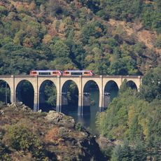
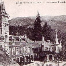
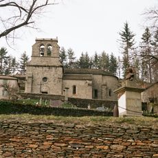
The lake was created in the 1950s through dam construction and began filling with water in 1964, transforming the Bayard valley. The submersion of the valley led to the flooding of several settlements, submerging historical structures including a 19th-century bridge that occasionally becomes visible when water levels drop.

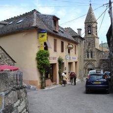
The name refers to the village of Villefort nearby, which has deep roots in this mountain region. Today the lake has become a gathering place where locals and visitors come to spend time together, marking a shift from its original purpose as purely an engineering project.

The lake features a monitored beach with restroom facilities and food services available during summer months. The site is easily accessible and offers walking paths along the shoreline, seasonal boat rentals, and designated fishing spots for visitors of all experience levels.

When water levels drop, a submerged 19th-century bridge becomes visible, offering a glimpse into the valley before flooding occurred. This structure stands as a silent reminder of the settlements and infrastructure that disappeared beneath the water.

The community of curious travelers

AroundUs brings together thousands of curated places, local tips, and hidden gems, enriched daily by 60,000 contributors worldwide.

Start exploring
Location
Elevation above the sea
580 m
GPS coordinates
44.45250,3.92806
Latest update
February 7, 2026 11:01
« Lac de Villefort - reservoir in France » is provided by Around Us (aroundus.com). Images and texts are derived from Wikimedia project under a Creative Commons license. You are allowed to copy, distribute, and modify copies of this page, under the conditions set by the license, as long as this note is clearly visible.

Discover hidden gems everywhere you go!

From secret cafés to breathtaking viewpoints, skip the crowded tourist spots and find places that match your style. Our app makes it easy with voice search, smart filtering, route optimization, and insider tips from travelers worldwide. Download now for the complete mobile experience.

Around Us App Screenshot

A unique approach to discovering new places

Le Figaro

All the places worth exploring

France Info

A tailor-made excursion in just a few clicks

20 Minutes

Around Us
Travel Guide & Maps
Download

Send to your phone

QR Code
1

Open the camera app on your mobile.

2

Point at the QR code with your camera. A notification will appear.

3

Tap the notification to open the link.