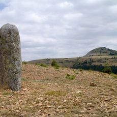
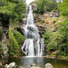
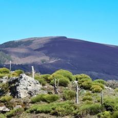
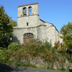
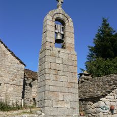
Sommet de Finiels, Mountain summit in Mont Lozère, France
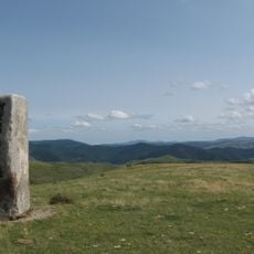
The Sommet de Finiels is the highest point of Mont Lozère, rising to 1699 meters above sea level. The terrain offers expansive views across the Massif Central with open slopes, moorland plateaus, and distant mountain ridges.
The GR 70 hiking trail nearby follows a historical route traveled by author Robert Louis Stevenson in 1878. The region served as a key mountain passage for centuries, shaping how people moved through this landscape.
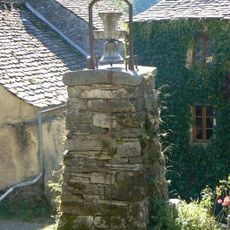
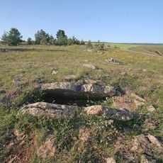
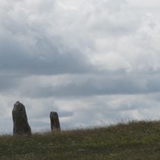
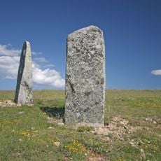
The summit holds a place in local geography and is marked by traditional stone cairns that hikers still use as directional markers today. These piled stones reflect how people have organized movement through this high terrain for hundreds of years.
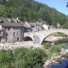
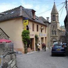
The D20 road connects Pont de Montvert with Bleymard and allows access to the height, with multiple hiking trails starting from these towns. The highlands are windswept and weather can change quickly, so visitors should be prepared for shifting conditions.
On exceptionally clear days, observers from the peak can simultaneously view both the Mediterranean Sea and the Alps. This rare double vista owes itself to the extraordinary elevation and location in central France.
The community of curious travelers
AroundUs brings together thousands of curated places, local tips, and hidden gems, enriched daily by 60,000 contributors worldwide.