Signal du Bougès

Log in to your account

AroundUs is a community-driven map of interesting places, built by curious explorers like you. It grows with every review, story, and photo you share.
Connect to save your favorite spots, contribute locations, and create personalized routes.
Continue with Google
Continue with Apple
Continue with X
Continue with Facebook
Continue with email
By continuing, you accept our Terms and Conditions and our Privacy Policy
Create an account

Signal du Bougès

Add to collection
Map
Suggest a change
Share

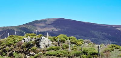
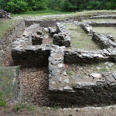
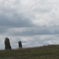
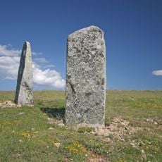
Signal du Bougès, Mountain summit in Cans et Cévennes, France

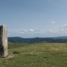
Signal du Bougès is a mountain summit reaching 1,421 meters and forms the highest point of the Bougès massif within the Cevennes mountain range. Multiple marked trails from various starting points in the Lozère area lead to the top throughout the year.

The summit gained attention through Robert Louis Stevenson's travels, recorded in his 1879 account of journeying through the Cevennes with a donkey. This literary connection tied the location to the region's walking culture history.

Two major French hiking routes, the GR68 and GR70, cross paths at the summit, making it a meeting point for long-distance walkers. The location holds meaning for hikers who navigate these trails and find a natural junction here.

The ascent is possible year-round with marked routes available from several starting points, and the area is well-served by hiking paths. It is wise to bring proper footwear and weather protection, as conditions in the mountains can change quickly.

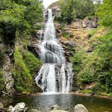
On clear days, the summit offers views extending to Mont Lozère and across the Cevennes National Park. These distant vistas make it a valuable viewpoint for observing the region's geology and landscape.

Location: Cans et Cévennes

GPS coordinates: 44.31740,3.72599

Latest update: December 14, 2025 18:41

Photos
Reviews

Visited this place? Tap the stars to rate it and share your experience / photos with the community! Try now! You can cancel it anytime.

« Signal du Bougès - Mountain summit in Cans et Cévennes, France » is provided by Around Us (aroundus.com). Images and texts are derived from Wikimedia project under a Creative Commons license. You are allowed to copy, distribute, and modify copies of this page, under the conditions set by the license, as long as this note is clearly visible.

Discover hidden gems everywhere you go!

From secret cafés to breathtaking viewpoints, skip the crowded tourist spots and find places that match your style. Our app makes it easy with voice search, smart filtering, route optimization, and insider tips from travelers worldwide. Download now for the complete mobile experience.

Around Us App Screenshot

A unique approach to discovering new places

Le Figaro

All the places worth exploring

France Info

A tailor-made excursion in just a few clicks

20 Minutes