Enable Location

We need your location to show you interesting places around you

Discover nearby places

Find interesting locations and hidden gems around you

Precise directions

Get accurate directions and distances to places

Your location is never shared with other users. It's only used when you tap the location button.

GR 9

Log in to your account

Start exploring — it's free

Trusted by 64,907 travelers worldwide

Continue with Google
Continue with Apple
or

We will send you a code to connect

By continuing, you accept our Terms and Conditions and our Privacy Policy

Check your inbox

We've sent a pincode in your inbox. Please enter the code below.

GR 9
Discussion Reviews 1 Photos
6.3k Popularity

GR 9, long-distance walking route in France, connecting Saint-Amour and Port Grimaud

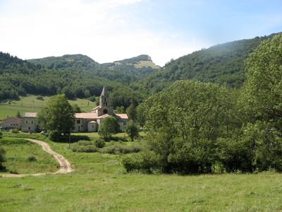
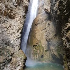
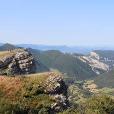
The GR 9 is a long-distance trail in France that starts in the Jura region near Saint-Amour and ends near the Mediterranean coast at Port Grimaud. The route is marked with the standard red and white blazes of the Grande Randonnée network and crosses varied terrain including forests, plateaus, and mountain massifs such as the Vercors and Chartreuse.

The Grande Randonnée network, of which the GR 9 is part, was developed after World War II to open up old footpaths for recreational walking. Many sections of the GR 9 follow paths that traders and shepherds had used since the Middle Ages to move between the Jura and the south of France.

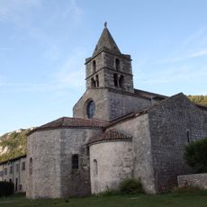
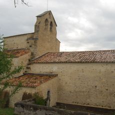
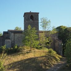
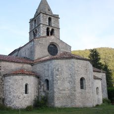
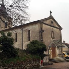
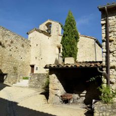
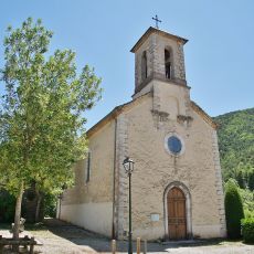
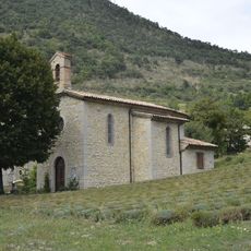
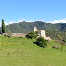
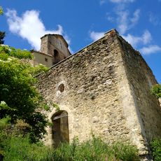
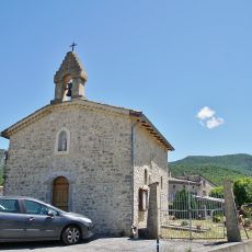
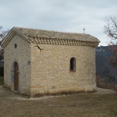
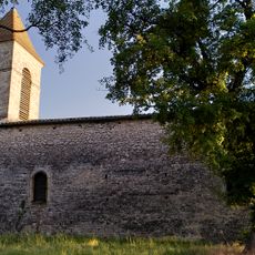
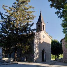
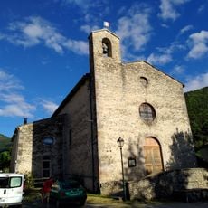
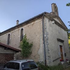
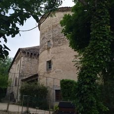
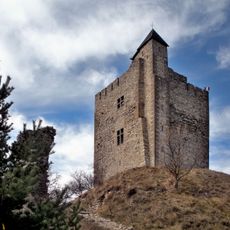
Along the GR 9, walkers pass through villages where stone fountains, roadside chapels, and weekly markets give a sense of daily life in rural France. In the Vercors and Chartreuse areas, the path crosses landscapes that local communities have shaped through farming and shepherding for centuries.

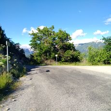
The GR 9 can be walked in stages over several days or weeks, with accommodation available in villages along the way. For the mountain sections, sturdy footwear and a paper map or GPS are a good idea, as some stretches are remote and signage can be harder to follow in poor weather.

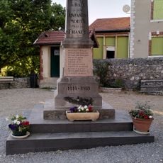
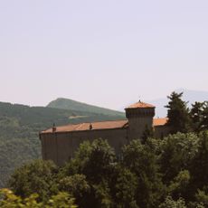
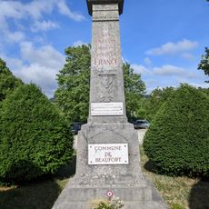
The GR 9 crosses the Vercors plateau, which served as a base for the French Resistance during World War II, and some sections of the trail pass near memorials and former hideouts from that period. Walkers who know this history will notice that certain ridgeline paths were chosen precisely because they were hard to spot from the valleys below.

The community of curious travelers

AroundUs brings together thousands of curated places, local tips, and hidden gems, enriched daily by 60,000 contributors worldwide.

Start exploring
Location
GPS coordinates
44.82220,5.17180
Latest update
March 3, 2026 10:09
Reviews
Share your experience

No review yet

Discussions
Start a discussion...

No discussion yet

« GR 9 - long-distance walking route in France, connecting Saint-Amour and Port Grimaud » is provided by Around Us (aroundus.com). Images and texts are derived from Wikimedia project under a Creative Commons license. You are allowed to copy, distribute, and modify copies of this page, under the conditions set by the license, as long as this note is clearly visible.

Discover hidden gems everywhere you go!

From secret cafés to breathtaking viewpoints, skip the crowded tourist spots and find places that match your style. Our app makes it easy with voice search, smart filtering, route optimization, and insider tips from travelers worldwide. Download now for the complete mobile experience.

Around Us App Screenshot

A unique approach to discovering new places

Le Figaro

All the places worth exploring

France Info

A tailor-made excursion in just a few clicks

20 Minutes

Around Us
Travel Guide & Maps
Download

Send to your phone

QR Code
1

Open the camera app on your mobile.

2

Point at the QR code with your camera. A notification will appear.

3

Tap the notification to open the link.