Mourre Nègre

Log in to your account

AroundUs is a community-driven map of interesting places, built by curious explorers like you. It grows with every review, story, and photo you share.
Connect to save your favorite spots, contribute locations, and create personalized routes.
Continue with Google
Continue with Apple
Continue with X
Continue with Facebook
Continue with email
By continuing, you accept our Terms and Conditions and our Privacy Policy
Create an account

Mourre Nègre

Add to collection
Map
Suggest a change
Share

Mourre Nègre, Highest summit of Luberon in Vaucluse, France.

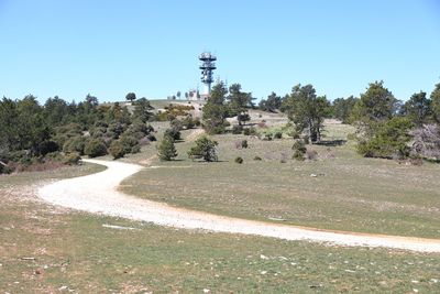
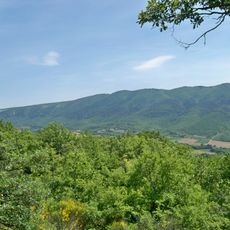
Mourre Nègre is the highest peak of the Luberon massif, reaching 1125 meters with a distinctive rounded summit crowned by a radio antenna used for regional communications. The gentle slopes and shape make it recognizable from surrounding areas and offer expansive views in all directions.

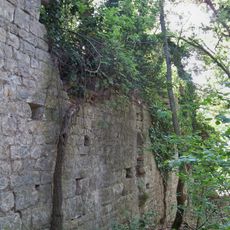
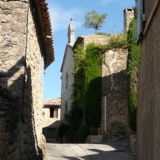
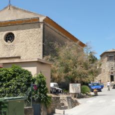
Shepherds crossed these mountainous routes for centuries, driving flocks across the Luberon heights as part of their seasonal movements. The pathways they carved still form the backbone of modern hiking trails connecting villages throughout the region.

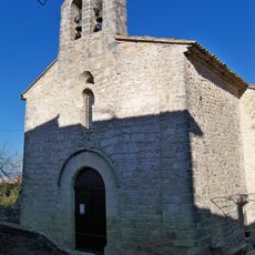
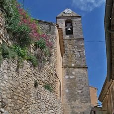
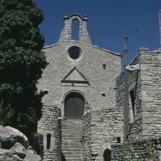
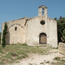
The mountain sits within the Luberon Regional Park, a protected area created to safeguard the natural heritage of Provence. Visitors can experience the landscape that locals have treasured and continue to protect for future generations.

Several well-marked trails lead to the summit, including the long-distance routes GR9-97 and GR92, with elevation gains ranging from 600 to 700 meters depending on the starting village. Sturdy footwear and plenty of water are essential, as the ascent can be exposed and sunny.

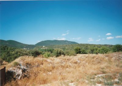
On clear days, visitors from the summit can spot two renowned mountain peaks simultaneously: Sainte-Victoire and Mont Ventoux, despite their considerable distance apart. This dual perspective makes the location a standout vantage point for those interested in regional geography and mountain photography.

Location: Vaucluse

Elevation above the sea: 1,125 m

Address: Mourre Nègre, 84240 Auribeau, France

GPS coordinates: 43.81556,5.46734

Latest update: December 6, 2025 17:41

Photos
Things to do in Luberon: perched villages, ochre cliffs, and natural treasures of Provence

Luberon sits between soft hills and stone villages in the heart of Provence. The region shows what makes Provence special: lavender fields, ochre-colored cliffs, and honey-colored houses that cling to hillsides. In villages like Gordes and Roussillon, the buildings catch the light in striking ways....

Reviews

Visited this place? Tap the stars to rate it and share your experience / photos with the community! Try now! You can cancel it anytime.

« Mourre Nègre - Highest summit of Luberon in Vaucluse, France » is provided by Around Us (aroundus.com). Images and texts are derived from Wikimedia project under a Creative Commons license. You are allowed to copy, distribute, and modify copies of this page, under the conditions set by the license, as long as this note is clearly visible.

Discover hidden gems everywhere you go!

From secret cafés to breathtaking viewpoints, skip the crowded tourist spots and find places that match your style. Our app makes it easy with voice search, smart filtering, route optimization, and insider tips from travelers worldwide. Download now for the complete mobile experience.

Around Us App Screenshot

A unique approach to discovering new places

Le Figaro

All the places worth exploring

France Info

A tailor-made excursion in just a few clicks

20 Minutes