La Carte du ciel, mural by Jean-Pierre Raynaud
Location: Puteaux
Inception: 1989
Creator: Jean Pierre Raynaud
Made from material: fresco
GPS coordinates: 48.89250,2.23556
Latest update: November 5, 2025 09:42
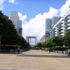
Grande Arche
39 m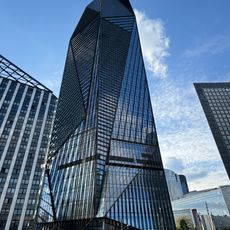
Tour Hekla
401 m
The Thumb
255 m
Tour Trinity
408 m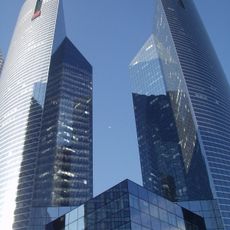
Tours Société Générale
371 m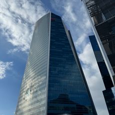
Tour Granite
444 m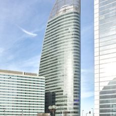
Tour T1
492 m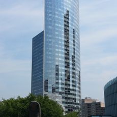
Tour Sequoia
365 m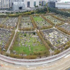
Neuilly-sur-Seine New Communal Cemetery
416 m
Tour Adria
290 m
Parvis de la Défense
260 m
Araignée rouge
463 m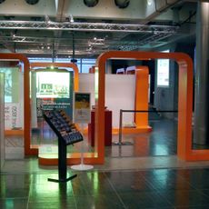
Musée de l'Informatique
90 m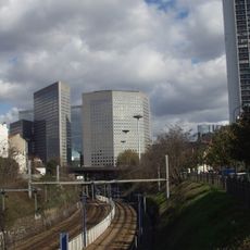
Tour Voltaire
328 m
Deux personnages fantastiques
423 m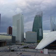
Tour Emblem
384 m
Slat
124 m
Arbres lumineux
74 m
Les Points de mire
476 m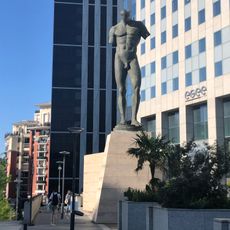
Colosse
319 m
L'Escalier
137 m
After Olympia
371 m
La Connaissance
372 m
Reflets
291 m
Utsurohi
155 m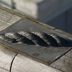
Incrustations M
255 m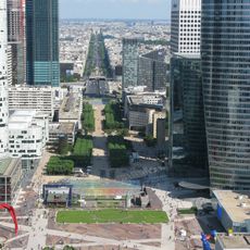
Grande Arche
25 m
Pont Léonard de Vinci
406 mReviews
Visited this place? Tap the stars to rate it and share your experience / photos with the community! Try now! You can cancel it anytime.
Discover hidden gems everywhere you go!
From secret cafés to breathtaking viewpoints, skip the crowded tourist spots and find places that match your style. Our app makes it easy with voice search, smart filtering, route optimization, and insider tips from travelers worldwide. Download now for the complete mobile experience.

A unique approach to discovering new places❞
— Le Figaro
All the places worth exploring❞
— France Info
A tailor-made excursion in just a few clicks❞
— 20 Minutes