GR 42, long-distance walking route in France
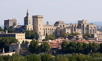
The GR 42 is a long-distance hiking trail in France that runs from Saint-Etienne to the Mediterranean coast, covering about 450 kilometers. The path passes through forests and hills in the Pilat mountains, vineyards and orchards in the Rhône valley, charming villages, and finally the wetlands of the Camargue with its marshes and lagoons.
The trail follows the historic Rhône River valley route that was used for trade and travel for centuries. Created in the 1970s, it was later neglected until the French Hiking Federation recently restored and re-marked the path to make it accessible to modern hikers.
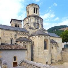
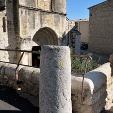
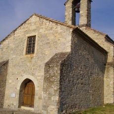
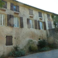
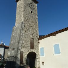
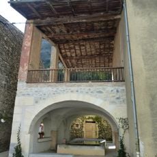
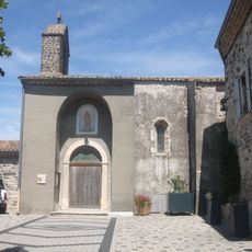
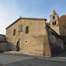
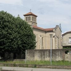
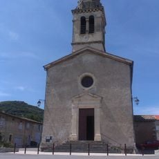
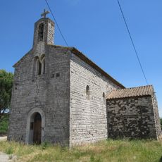
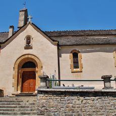
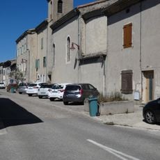
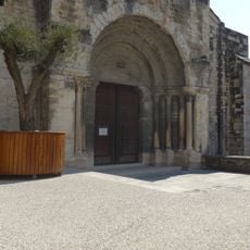
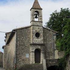
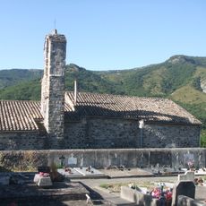
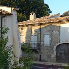
The trail connects regions with different ways of life and local traditions that change as you walk. In villages like Bourg-Argental and Arles, you see how people live with the river and the land, and shops and cafes welcome hikers as part of daily rhythm.
The trail is marked with white and red signs and typically takes around 20 days to walk the full distance, though this varies with pace and breaks. Train stations are located near the route at regular intervals, allowing hikers to adjust their journey or take shorter sections, and a detailed hiking guide is helpful for planning and navigation.
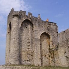
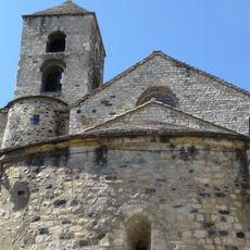
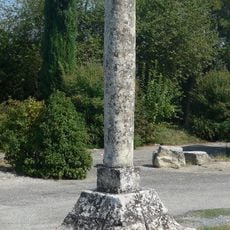
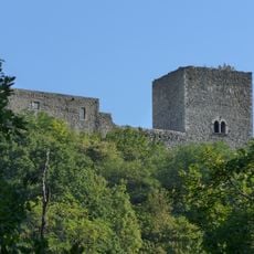
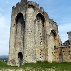
The route passes the ancient Celtic site of Camp de César near Bagnols-sur-Cèze, where remains from different periods of history can be seen. This historical location is often overlooked by hikers, yet it offers a tangible connection to the region's early settlements.
The community of curious travelers
AroundUs brings together thousands of curated places, local tips, and hidden gems, enriched daily by 60,000 contributors worldwide.