The Causses and the Cévennes, Mediterranean agro-pastoral Cultural Landscape, Mediterranean agro-pastoral landscape in southern Massif Central, France
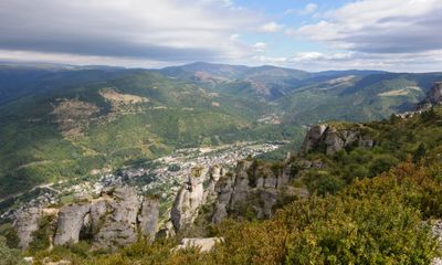
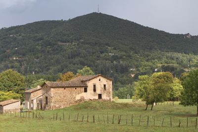
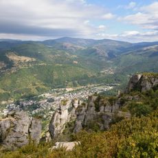
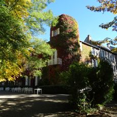
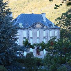
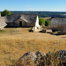
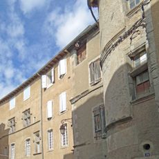
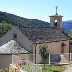
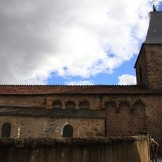
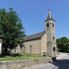
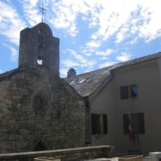
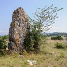
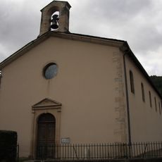
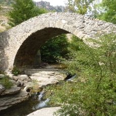
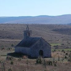
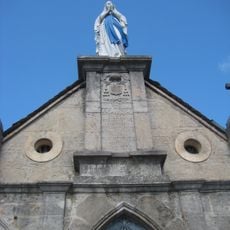
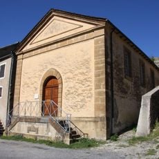
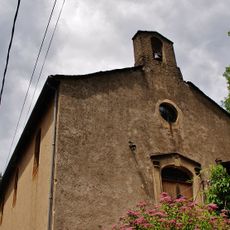
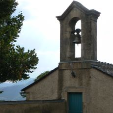
The Causses and the Cevennes form an agro-pastoral cultural landscape in southern France, made up of limestone plateaus, deep river valleys, and forested mountain ridges. The terrain shifts from open grazing land on the plateaus to terraced farms carved into the valley slopes, with stone villages scattered throughout.
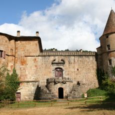
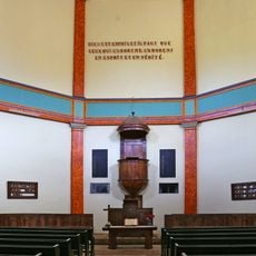
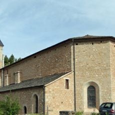
Between the 12th and 14th centuries, monastic communities shaped much of the land by building roads and water systems that made farming the plateaus possible. Later, the Cevennes became a refuge for Protestant communities during the religious conflicts of the 17th century.
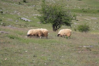
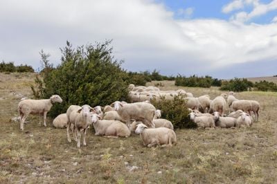
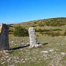
The seasonal movement of flocks between highland pastures and lowland valleys is still a living practice in this region. Travelers walking the old paths may encounter herds being led by shepherds following the same routes used for centuries.
The landscape is best seen on foot, as a network of marked trails connects stone villages, gorges, and open plateaus across the area. Spring and autumn offer the most comfortable conditions, since summer heat on the lower plateaus can be intense.
Silk production was once widespread in the Cevennes, with mulberry trees planted across the terraces to feed silkworms raised in farmhouse attics. Some of these trees still stand today, and a few villages have small workshops where the old craft is kept alive.
The community of curious travelers
AroundUs brings together thousands of curated places, local tips, and hidden gems, enriched daily by 60,000 contributors worldwide.