Cévennes National Park, National park in Southern France
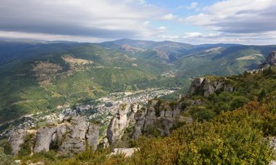
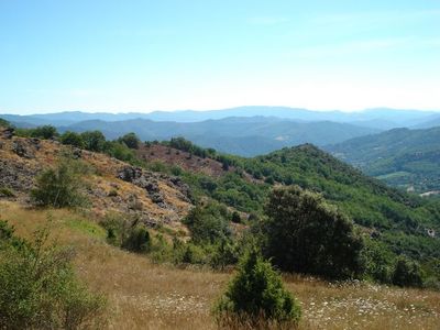
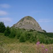
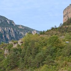
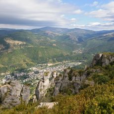
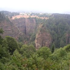
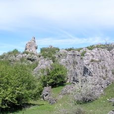
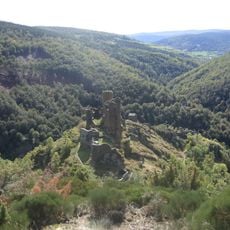
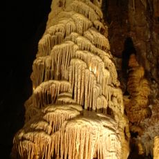
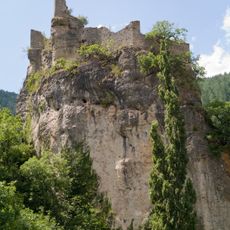
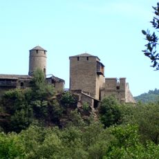
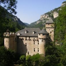
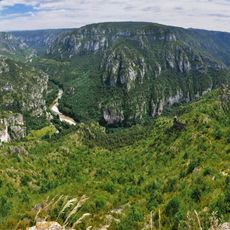
Cévennes National Park is a protected area in southern France covering forested mountains, limestone plateaus, and deep valleys carved by rivers. The terrain shifts between dense chestnut forests, open grazing lands, and rocky ridges crossed by streams.
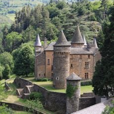
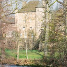
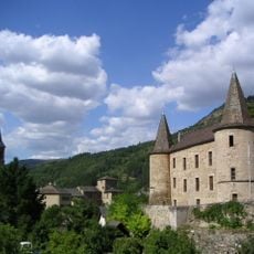
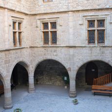
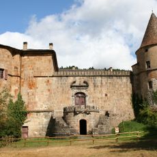
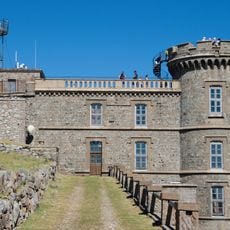
This protected area was founded on September 2, 1970, with its headquarters placed inside Florac Castle. In 2011, UNESCO recognized the region as a World Heritage site for preserving traditional farming methods.
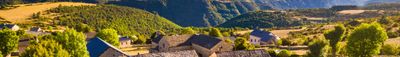
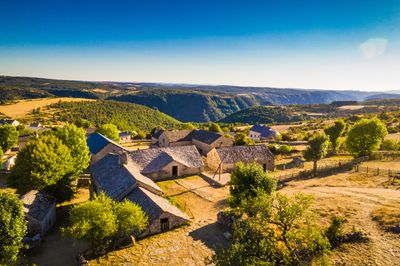
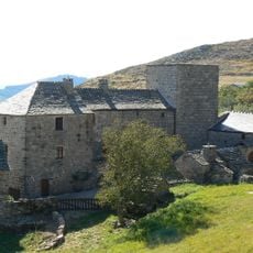
The region lives through the work of shepherds and farmers, whose daily rhythms follow the seasons and the movement of livestock. The stone walls and dry paths show how people shaped the land across generations without machines.
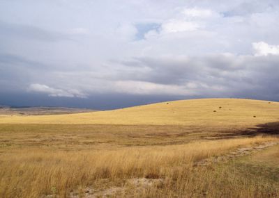
The information center in Florac offers maps and advice on trails that vary depending on the season and weather conditions. The southern paths are most comfortable in spring and autumn, while the higher elevations open up better in summer.
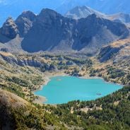
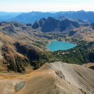
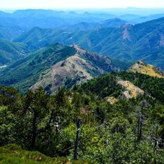
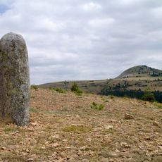
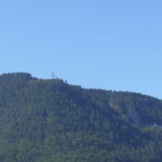
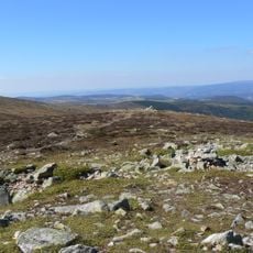
Mont Lozère reaches 1,699 meters (5,574 feet) and serves as the highest point in the reserve, offering views toward both the Mediterranean Sea and the mountains of central France on clear days. The area is also one of the few officially recognized dark sky reserves in Europe, where the night sky remains visible without artificial interference.
The community of curious travelers
AroundUs brings together thousands of curated places, local tips, and hidden gems, enriched daily by 60,000 contributors worldwide.