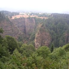
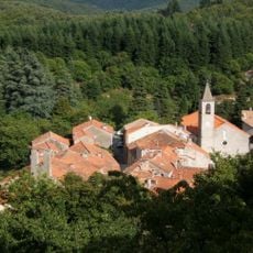
Mont Aigoual, Mountain summit in Lozère, France
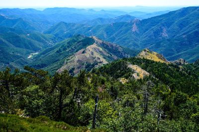
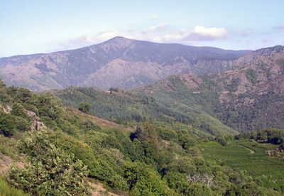
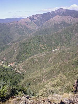
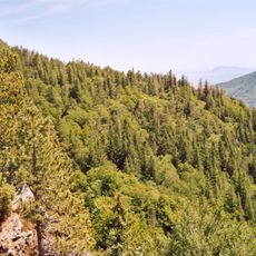
Mont Aigoual is a mountain peak in the Cévennes that rises 1567 meters above sea level. On clear days, visitors can see thirteen French departments from the summit, and on exceptionally clear afternoons, the Mediterranean coast and distant Alpine ridges become visible.
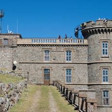
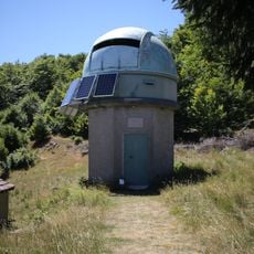
A weather observatory was constructed on the mountain between 1887 and 1894 and remains France's last inhabited meteorological station at high altitude. Staff there continue daily measurements and observations, making this facility an important record of early climate research and scientific dedication to understanding mountain weather.
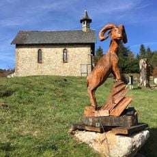
The annual transhumance festival in June features decorated sheep flocks moving through l'Espérou village, maintaining traditional pastoral practices of the Cévennes region.
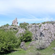
Several marked trails crisscross the slopes and are suitable for hiking and mountain biking during warmer months. The nearby Prat Peyrot ski resort offers alpine runs at different difficulty levels when snow arrives in winter.
The mountain receives about 2250 millimeters of rain annually, making it France's wettest location. This happens because weather systems from the Atlantic and Mediterranean meet here, causing moist air to rise and release its water.
Location: Lozère
Elevation above the sea: 1,567 m
Made from material: granite
Address: Mont Aigoual, 30570 Val-d'Aigoual, France
GPS coordinates: 44.12163,3.58136
Latest update: December 14, 2025 18:23
Abîme de Bramabiau
8.5 km
Nîmes-le-Vieux
13 km
Château de Roquedols
12.2 km
Observatoire météorologique du Mont Aigoual
40 m
Pises Observatory
11.1 km
Château d'Ayres
13.2 km
Arboretum de l'Hort de Dieu
534 m
Saint-Marcel-de-Fontfouilhouse church
10.2 km
Temple protestant de Meyrueis
13.6 km
Maison du Viguier
13.8 km
Église Saint-Pierre de Meyrueis
13.6 km
Église Saint-Martin d'Aulas
13.5 km
Église Notre-Dame-de-l'Assomption de Gatuzières
11.3 km
Église Notre-Dame de Molezon
12.4 km
Église Saint-André de Saint-André-de-Majencoules
12.8 km
Église Saints-Pierre-et-Paul de Fraissinet-de-Fourques
10.9 km
Église Saint-Grégoire-et-Notre-Dame de Beaulieu
11.7 km
Église Saint-Sauveur de Camprieu
8.3 km
Église Notre-Dame-de-l'Assomption du Pompidou
10.1 km
Temple de l'Esperou
4.2 km
Église Notre-Dame de Dourbies
12.6 km
Temple du Pompidou
10 km
Chapelle Notre-Dame-du-Rocher de Meyrueis
13.9 km
Temple de Valleraugue
6.7 km
Pont des Six-Liards
13.4 km
Temple
13.2 km
Temple de l'église réformée de Gatuzières
11.3 km
Temple de l'Église protestante unie de France de Rousses
9.4 kmVisited this place? Tap the stars to rate it and share your experience / photos with the community! Try now! You can cancel it anytime.
Discover hidden gems everywhere you go!
From secret cafés to breathtaking viewpoints, skip the crowded tourist spots and find places that match your style. Our app makes it easy with voice search, smart filtering, route optimization, and insider tips from travelers worldwide. Download now for the complete mobile experience.
A unique approach to discovering new places❞
— Le Figaro
All the places worth exploring❞
— France Info
A tailor-made excursion in just a few clicks❞
— 20 Minutes