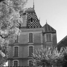
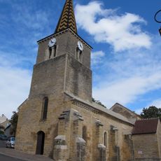
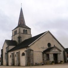
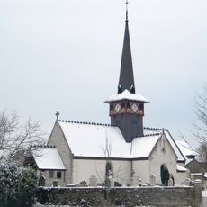
Climats, terroirs of Burgundy, Wine cultivation terroir in Burgundy, France
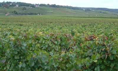
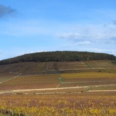
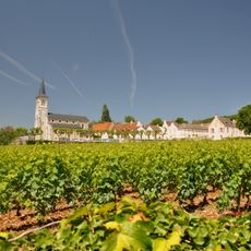
The Climats are roughly 1247 individual vineyard plots scattered across Burgundy, each shaped by specific soil types, slope, and exposure that influence grape growing. The plots are separated by stone walls and paths, creating a patchwork landscape that reflects how local conditions vary across the region.
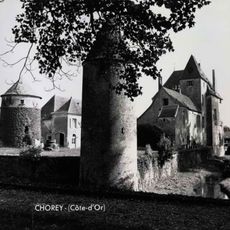
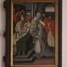
Romans first planted grapes in this region, but the systematic division into individual climate plots developed when Cistercian monks arrived in the 11th century and began studying the differences between parcels. The monks documented these distinctions and created the foundation for the classification system that still applies today.
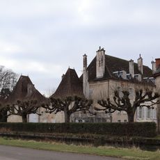
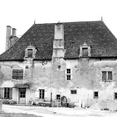
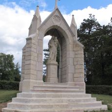
The vineyard plots carry names developed over centuries by local growers to identify each distinct parcel and its qualities. Walking through the region, you observe how these names and boundaries still organize the landscape and reflect the knowledge of people who work the land.
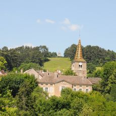
The region is best explored on foot or by bicycle, since the vineyards sit on gentle slopes with small paths connecting the plots. It helps to plan a route beforehand, as the area is large and some parts have better trails and signage than others.
The stone walls and field boundaries dividing individual vineyard plots are sometimes over 500 years old, built by earlier generations of growers to mark their land. These ancient borders give the landscape its distinctive checkerboard appearance and reveal how unchanging this division has remained through the centuries.
The community of curious travelers
AroundUs brings together thousands of curated places, local tips, and hidden gems, enriched daily by 60,000 contributors worldwide.