
Ferme, allée du Château de Kéran, human settlement in France
Location: Arradon
Address: allée du Château de Kéran
GPS coordinates: 47.62159,-2.84565
Latest update: April 17, 2025 14:29
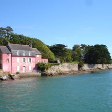
Maison rose
5 km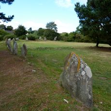
Cromlech de Kergenan
3.5 km
Vincin
4.6 km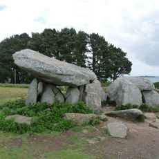
Dolmen de Penhap
4.3 km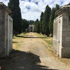
Château du Guéric
3.4 km
Campen tide mill
4.7 km
Église Notre-Dame de l'Île-d'Arz
4.8 km
Plage de Kerbilouet
2.6 km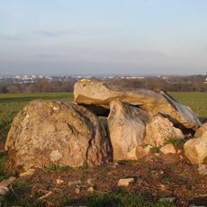
Dolmen de Kerhenry
3.8 km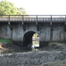
Pont du Vincin
4.7 km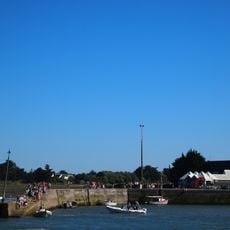
Port de Béluré
4.3 km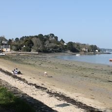
Plage de Port Miquel
2.8 km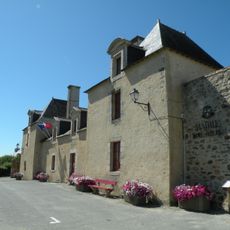
Prieuré d'île-d'Arz
4.9 km
Plage de Brouel
4.9 km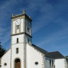
Église Saint-Michel de l'Île-aux-Moines
2.6 km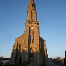
Église Saint-Pierre d'Arradon
1.9 km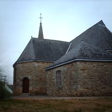
Église Saint-Martin de Ploeren
4.1 km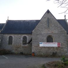
Église Saint-Pierre dite chapelle du bourg d'Arradon
1.9 km
Port départemental de la pointe d'Arradon
1.5 km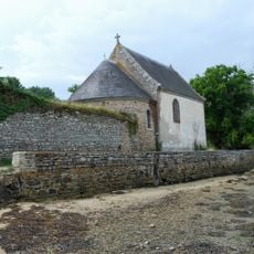
Chapelle Sainte-Anne de Guéric
3.3 km
Plage de Brouhel
4.9 km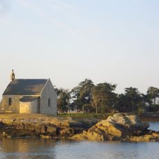
Chapelle de l'Île Boëdic
4.6 km
Croix de chemin
3.1 km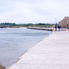
Berno tide mill
4.1 km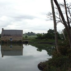
Pomper tide mill
1.8 km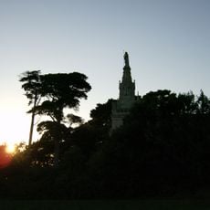
Chapelle Saint-Joseph de Penboc'h
3.3 km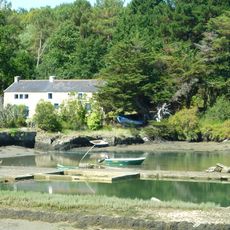
Le Pont tide mill
1.8 km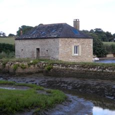
Le Paluden tide mill
906 mReviews
Visited this place? Tap the stars to rate it and share your experience / photos with the community! Try now! You can cancel it anytime.
Discover hidden gems everywhere you go!
From secret cafés to breathtaking viewpoints, skip the crowded tourist spots and find places that match your style. Our app makes it easy with voice search, smart filtering, route optimization, and insider tips from travelers worldwide. Download now for the complete mobile experience.

A unique approach to discovering new places❞
— Le Figaro
All the places worth exploring❞
— France Info
A tailor-made excursion in just a few clicks❞
— 20 Minutes