Montagne Kotika, Mountain peak in French Guiana
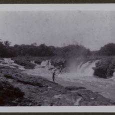
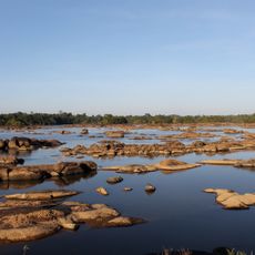
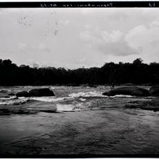
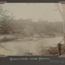
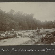
Montagne Kotika is a mountain peak in French Guiana that rises to 745 meters with steep slopes wrapped in dense rainforest vegetation. The entire flanks are covered with tropical plant life, creating a thick green wall that extends down the slopes.
The peak served as a geographical reference point for expeditions and mapping efforts during the colonial exploration period. Its role as a navigation marker made it a recognizable landmark in the region's exploration history.
Local Aluku communities call this mountain Lebi Dotsi, weaving it into their traditional stories and understanding of the land around them. The name reflects how the people living here are connected to this natural landmark.
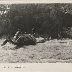
Reaching the summit requires good preparation with navigation equipment, plenty of water, and guidance from experienced local guides. The thick forest and uneven terrain make expert support necessary for safe progress.
This peak ranks as the third highest mountain in French Guiana and rises prominently 586 meters above the surrounding forest landscape. This distinctive elevation makes it visible from far away and underscores its role as a landmark in the region.
The community of curious travelers
AroundUs brings together thousands of curated places, local tips, and hidden gems, enriched daily by 60,000 contributors worldwide.