Puig de la Segalisse, Summit in Escaro and Nyer, France.
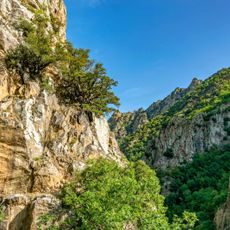
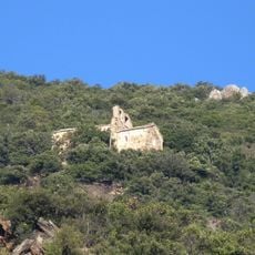
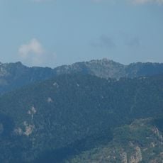
Puig de la Segalisse is a mountain peak in the eastern Pyrenees rising to 1,684 meters (5,525 feet) above sea level. From the top, you can see the surrounding ridges and valleys spreading across the landscape in multiple directions.
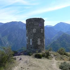
This peak has long served as a navigation point for communities throughout the eastern Pyrenees. Its prominent position made it a recognized landmark that people used to find their way through the mountains.
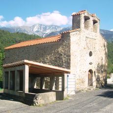
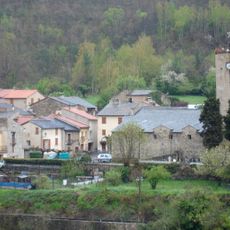
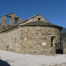
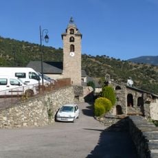
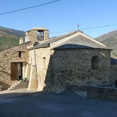
The trails to this peak follow routes that locals from Escaro and Nyer have used for generations to move between their communities. These pathways reflect how mountain life connects the surrounding villages through shared geography.
Marked trails lead from parking areas near Escaro and Nyer to the summit and are clearly signposted along the way. The warmer months offer the best conditions for hiking, as weather and ground conditions are most favorable.
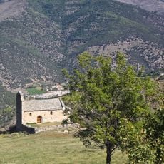
The summit sits at a precise geographical point that makes it valuable for mapping and scientific observation. This accuracy has drawn researchers and mapmakers to use it as a reference location over the years.
The community of curious travelers
AroundUs brings together thousands of curated places, local tips, and hidden gems, enriched daily by 60,000 contributors worldwide.